李渓鎮, gemeente in Youyang Tujia and Miao Autonomous County, Volksrepubliek China
Location: Youyang Tujia and Miao Autonomous County
GPS coordinates: 28.84232,108.75986
Latest update: March 5, 2025 14:42

Mount Fanjing
103 km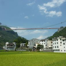
Aizhai Bridge
99.7 km
Three Natural Bridges
114.1 km
Wulong Karst
89.8 km
Liye Qin Slips
52.5 km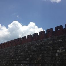
Miaojiang Great Wall
122.4 km
Tusi Sites
118.9 km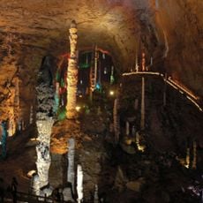
Huanglong Cave
163.3 km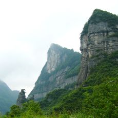
Mount Jinfo
154.2 km
Furong Cave
93.8 km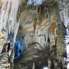
Xueyu Cave
140.3 km
Laosicheng
119.4 km
Lishui River Bridge
149.1 km
Red Stones Forest
109.8 km
Xizhou Tongzhu
115.6 km
Jiangkou Reservoir
95.2 km
Wulingshan Bridge
77.2 km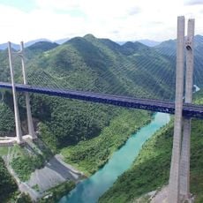
忠建河大桥
138.6 km
Furongjiang River Bridge
92.3 km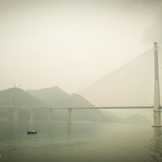
Second Fengdu Yangtze River Bridge
152.7 km
Xisha Bridge
32.9 km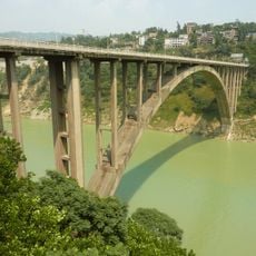
Fuling Arch Bridge
161.9 km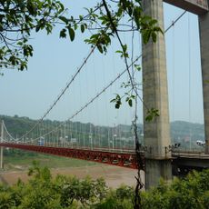
Fengdu Yangtze River Bridge
154.6 km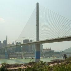
Fuling Wujiang Bridge
163.5 km
Dahekou Reservoir (Youyang)
29.8 km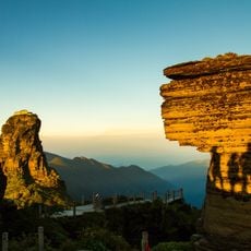
Fanjingshan
106.8 km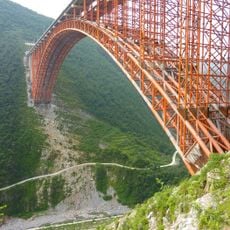
Xiaohe River Bridge
157.1 km
Jiaba Shuiku
68.5 kmVisited this place? Tap the stars to rate it and share your experience / photos with the community! Try now! You can cancel it anytime.
Discover hidden gems everywhere you go!
From secret cafés to breathtaking viewpoints, skip the crowded tourist spots and find places that match your style. Our app makes it easy with voice search, smart filtering, route optimization, and insider tips from travelers worldwide. Download now for the complete mobile experience.

A unique approach to discovering new places❞
— Le Figaro
All the places worth exploring❞
— France Info
A tailor-made excursion in just a few clicks❞
— 20 Minutes