
Box Canyon, canyon in Montrose County, Colorado, United States
Location: Montrose County
Elevation above the sea: 5,118 ft
GPS coordinates: 38.30832,-108.64871
Latest update: April 19, 2025 07:44
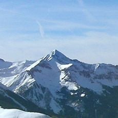
Wilson Peak
76.6 km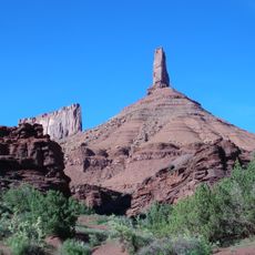
Castleton Tower
73.4 km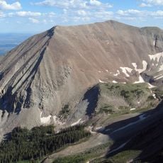
Mount Peale
52.7 km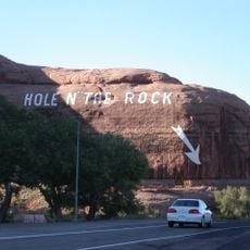
Hole N" The Rock
70.9 km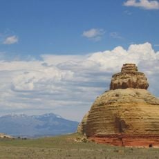
Church Rock
66.2 km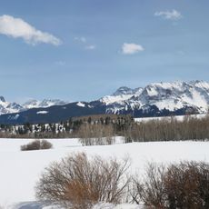
Dallas Divide
70.7 km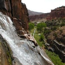
Dominguez Canyon Wilderness
53.1 km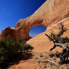
Wilson Arch
63.2 km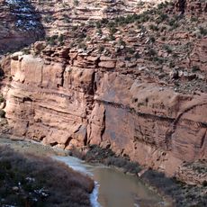
Hanging Flume
16.7 km
Lizard Head Wilderness
75.7 km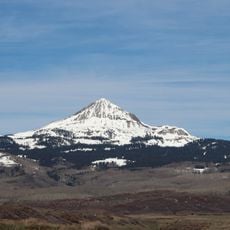
Lone Cone (Colorado)
58.1 km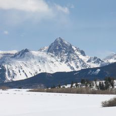
Mount Sneffels Wilderness
76.5 km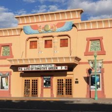
Egyptian Theatre
69.7 km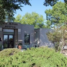
Ute Indian Museum
69.6 km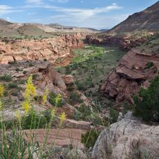
Dominguez-Escalante National Conservation Area
53.9 km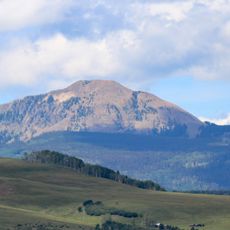
Little Cone
64.7 km
Dolores River Bridge
20.4 km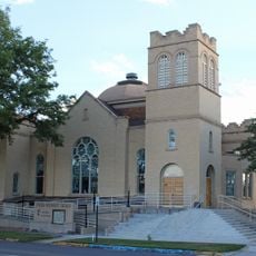
Methodist Episcopal Church of Montrose
70.3 km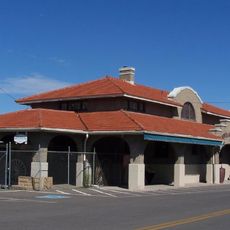
Montrose County Historical Museum
69.7 km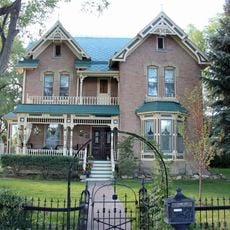
Thomas B. Townsend House
70.2 km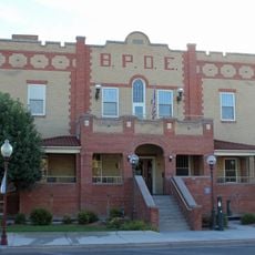
Benevolent and Protective Order of Elks Lodge
70.1 km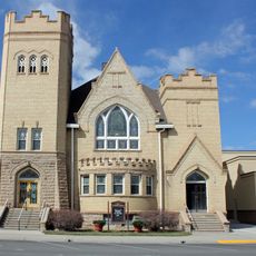
First Methodist Episcopal Church of Delta
69.7 km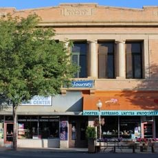
Montrose Masonic Temple, Lodge No. 63
70.1 km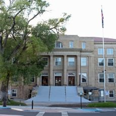
Montrose County Courthouse
70.1 km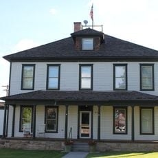
U.S. Bureau of Reclamation Project Office Building
70 km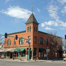
Delta County Bank Building
69.8 km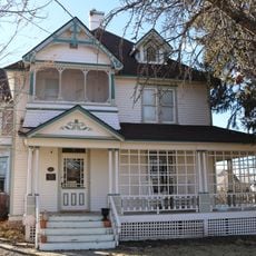
Garnethurst
70.1 km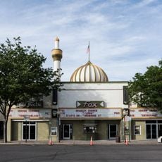
Fox Cinema Center
70.1 kmReviews
Visited this place? Tap the stars to rate it and share your experience / photos with the community! Try now! You can cancel it anytime.
Discover hidden gems everywhere you go!
From secret cafés to breathtaking viewpoints, skip the crowded tourist spots and find places that match your style. Our app makes it easy with voice search, smart filtering, route optimization, and insider tips from travelers worldwide. Download now for the complete mobile experience.

A unique approach to discovering new places❞
— Le Figaro
All the places worth exploring❞
— France Info
A tailor-made excursion in just a few clicks❞
— 20 Minutes