
Emery County, Administrative county in east-central Utah, United States.
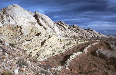
The county stretches across 4,000 square miles of diverse landscapes, including mountain ranges, desert regions, and valleys shaped by the Green River.
Established in 1875, Emery County was named after George W. Emery, who served as the territorial governor of Utah during that period.
The Museum of the San Rafael and John Wesley Powell River History Museum preserve exhibits about local heritage, from dinosaur fossils to mining artifacts.
Residents can access county services, including property auctions, safety resources, and veterans' benefits through the county's administrative center in Castle Dale.
The county contains multiple State Parks, BLM lands, Forest Service territories, and a National Monument within its boundaries.
Location: Utah
Inception: 1875
Capital city: Castle Dale
Shares border with: Carbon County, Grand County, Wayne County, Sevier County, Sanpete County, San Juan County, Uintah County
Website: http://emerycounty.com
GPS coordinates: 38.99000,-110.69000
Latest update: May 27, 2025 13:29

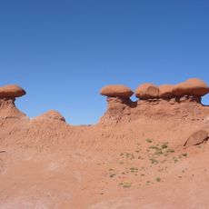
Goblin Valley State Park
47.2 km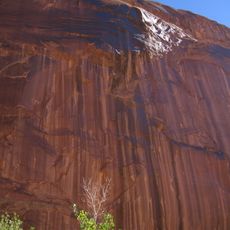
Horseshoe Canyon
73.1 km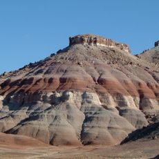
Cedar Mountain Formation
31 km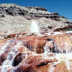
Crystal Geyser
48.4 km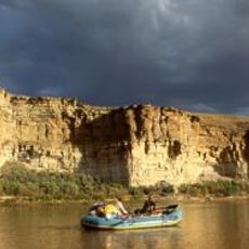
Desolation Canyon
75.4 km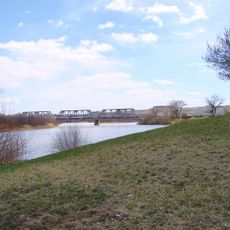
Green River State Park
46.4 km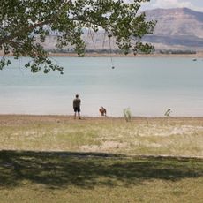
Huntington State Park
44.8 km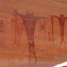
Buckhorn Draw Pictograph Panel
14.9 km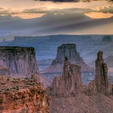
Canyon Lands
81 km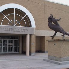
USU Eastern Prehistoric Museum
68.6 km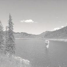
Electric Lake
82.3 km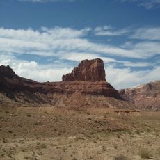
Bottleneck Peak and Moon
7.8 km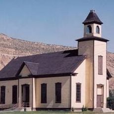
Emery LDS Church
48.7 km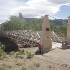
San Rafael Bridge
10.3 km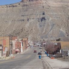
Helper Commercial District
78.6 km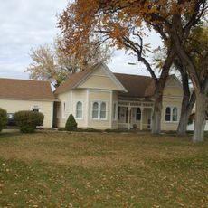
Samuel Singleton House
39.7 km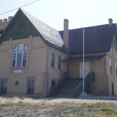
Ferron Presbyterian Church and Cottage
40.7 km
Castle Dale School
37.7 km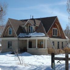
Lars Peter Larson House
42 km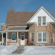
Paul C. Christensen House
37.8 km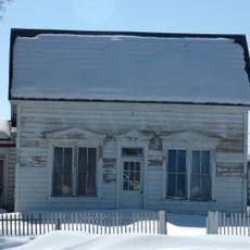
Leander Lemmon House
44.3 km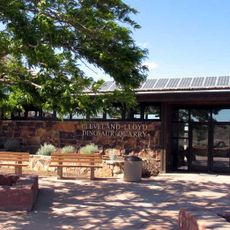
Cleveland-Lloyd Dinosaur Quarry
37.1 km
The Helper Museum
78.4 km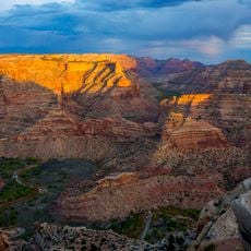
Wedge Overlook
12.8 km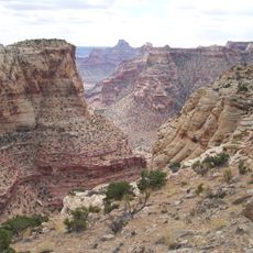
Little Grand Canyon
12.8 km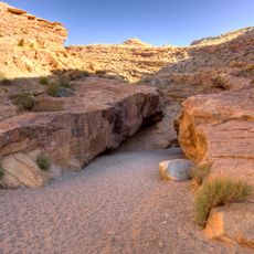
Little Wild Horse Canyon
55.8 km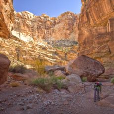
Bell Canyon
45.8 km
Huntington Lake
45.5 kmReviews
Visited this place? Tap the stars to rate it and share your experience / photos with the community! Try now! You can cancel it anytime.

Discover hidden gems everywhere you go!
From secret cafés to breathtaking viewpoints, skip the crowded tourist spots and find places that match your style. Our app makes it easy with voice search, smart filtering, route optimization, and insider tips from travelers worldwide. Download now for the complete mobile experience.

A unique approach to discovering new places❞
— Le Figaro
All the places worth exploring❞
— France Info
A tailor-made excursion in just a few clicks❞
— 20 Minutes