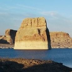
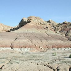
Ashley National Forest, National Forest in Daggett County and Duchesne County, United States.
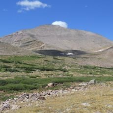
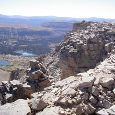
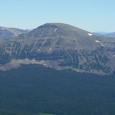
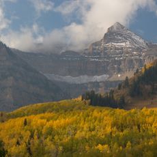
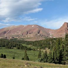
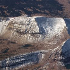
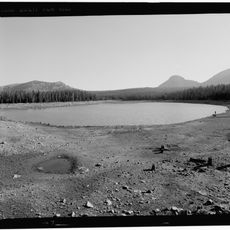
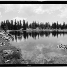
Ashley National Forest covers 1,382,346 acres across northeastern Utah and southwestern Wyoming, with elevations from 6,000 to 13,500 feet. It contains the Uinta Mountains, including Kings Peak at 13,528 feet, and about 60.5% of the High Uintas Wilderness. The Flaming Gorge National Recreation Area lies within its boundaries.
The area was named after General William Henry Ashley, who explored the Green River in 1825 searching for trade routes. European explorers like Domínguez and Escalante had passed through the region earlier during the 1770s.
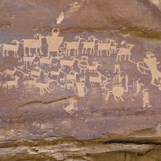
The forest holds rock carvings that tell of Native peoples who hunted here long before outsiders arrived. These petroglyphs mark a connection to the land that goes back many centuries.
The forest has over 1,000 miles (1,600 km) of trails, many open to motorcycles, ATVs and snowmobiles as well as hikers. Campgrounds line the routes, and in winter two yurts offer overnight stays for cross-country skiers. Ranger district offices in Vernal, Duchesne, Roosevelt, Manila and Green River, Wyoming, provide orientation.
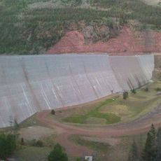
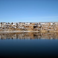
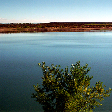
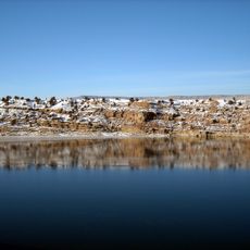
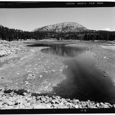
The canyon was named by John Wesley Powell, who thought the red walls were on fire. The 1962 dam flooded the spot where William Henry Ashley had hung his name on a river rock, now under the reservoir. Five marinas serve boaters on the cold water.
The community of curious travelers
AroundUs brings together thousands of curated places, local tips, and hidden gems, enriched daily by 94,587 contributors worldwide.