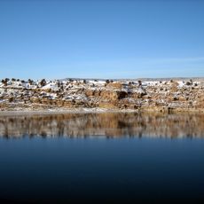
Uintah meridian, Principal meridian in Utah, United States.
The Uintah meridian is a reference line used in land surveying across Utah, running at approximately 40.43 degrees North and 109.94 degrees West. Surveyors use this invisible line to divide and define property boundaries and land parcels in the region.
The meridian was established in 1875 and played an important role in dividing and settling the western lands following the Civil War. It helped government authorities organize the rapid land development and property distribution in the expanding region.
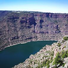
The meridian intersects with the Uintah and Ouray Indian Reservation, marking territories that hold deep connections to Ute tribal communities.
This meridian is relevant to surveyors, real estate professionals, and government agencies working with precise property descriptions and land management. Knowledge of its location and coordinates is essential for anyone involved with land administration or property surveying in Utah.
The intersection at Township 2 South and Range 1 East creates specific geographical coordinates that define exact locations on modern mapping systems.
The community of curious travelers
AroundUs brings together thousands of curated places, local tips, and hidden gems, enriched daily by 60,000 contributors worldwide.