
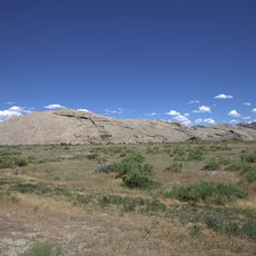
High Point, cliff in Carbon County, Wyoming, United States of America
Independence Rock
111.7 km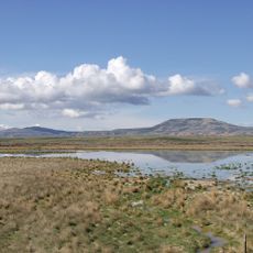
Great Divide Basin
71.5 km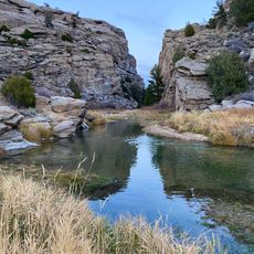
Devil's Gate
104.1 km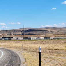
Wyoming State Penitentiary
50.1 km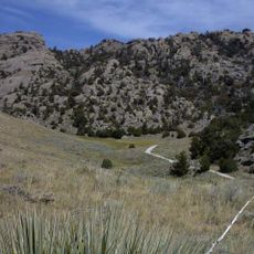
Martin's Cove
103.7 km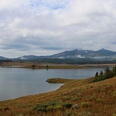
Steamboat Lake State Park
113.7 km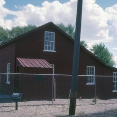
Fort Fred Steele State Historic Site
71.8 km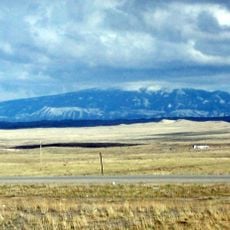
Elk Mountain
104.6 km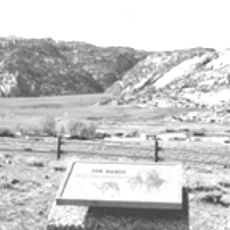
Tom Sun Ranch
103.3 km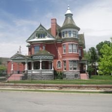
George Ferris Mansion
49 km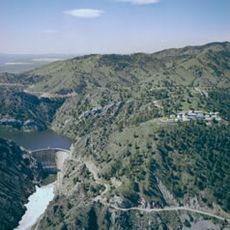
Seminoe State Park
90.3 km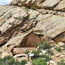
Frontier Formation
60 km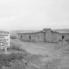
Point of Rocks Stage Station State Historic Site
84.1 km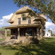
Willis House
94.2 km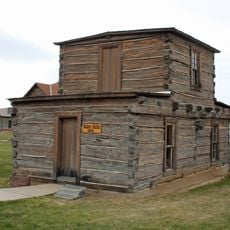
Jim Baker Cabin
71.3 km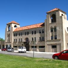
Parco Historic District
58.3 km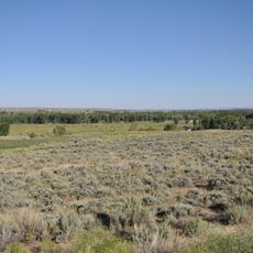
Ryan Ranch
93 km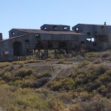
Reliance Tipple
117.6 km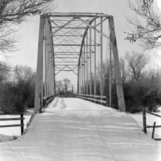
DMJ Pick Bridge
75.6 km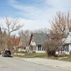
Rawlins Residential Historic District
49.3 km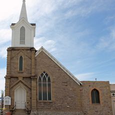
France Memorial United Presbyterian Church
49.3 km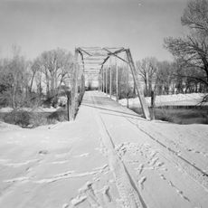
DML Butler Bridge
103.6 km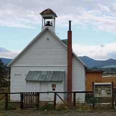
Hahns Peak Schoolhouse
114.3 km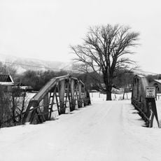
DFU Elk Mountain Bridge
114.3 km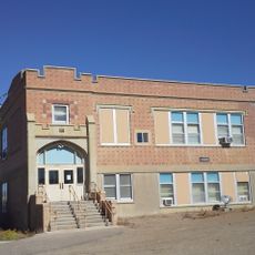
Reliance School and Gymnasium
117.3 km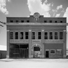
South Superior Union Hall
99.8 km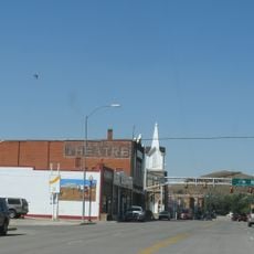
Downtown Rawlins Historic District
49.2 km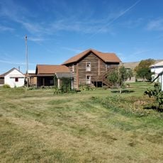
Little Snake River Museum
71.2 kmReviews
Visited this place? Tap the stars to rate it and share your experience / photos with the community! Try now! You can cancel it anytime.
Discover hidden gems everywhere you go!
From secret cafés to breathtaking viewpoints, skip the crowded tourist spots and find places that match your style. Our app makes it easy with voice search, smart filtering, route optimization, and insider tips from travelers worldwide. Download now for the complete mobile experience.

A unique approach to discovering new places❞
— Le Figaro
All the places worth exploring❞
— France Info
A tailor-made excursion in just a few clicks❞
— 20 Minutes