Chest opened
+${chestReward.xp} XP
Explorer
NOUVEAU ×${chestReward.collectible.quantity}
tapez pour fermer
Chest locked

Open chests in the app

Around Us is built for your phone — chests unlock when you walk, explore and capture nearby places.

Enable Location

We need your location to show you interesting places around you

Discover nearby places

Find interesting locations and hidden gems around you

Precise directions

Get accurate directions and distances to places

Your location is never shared with other users. It's only used when you tap the location button.

Log in to your account

Start exploring — it's free

Trusted by 73,022 travelers worldwide

Continue with Google
Continue with Apple
or

We will send you a code to connect

By continuing, you accept our Terms and Conditions and our Privacy Policy

Check your inbox

We've sent a pincode in your inbox. Please enter the code below.

Ptarmigan Peak Wilderness
Discussion Reviews Photo
2.2k Popularity

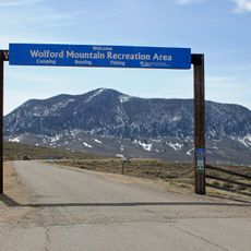
Ptarmigan Peak Wilderness, Protected wilderness area in Colorado, United States.

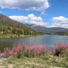
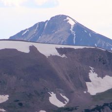
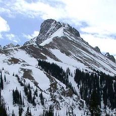
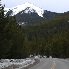
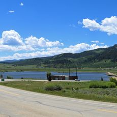
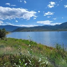
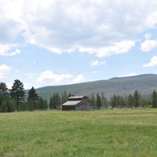
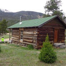
Ptarmigan Peak Wilderness is a protected natural area in Colorado featuring dense conifer forests that transition into alpine tundra. The terrain offers a mix of forested valleys and open high mountain zones with distinctive rocky peaks.

Congress designated the area as a wilderness in 1993, making it part of a national program protecting undeveloped landscapes. This recognition was part of a broader effort to preserve alpine ecosystems in the Rocky Mountains.

The name comes from the ptarmigan bird that lives in the high alpine areas and defines the landscape. Visitors can spot these rare birds in their natural setting, particularly in the open tundra zones above the treeline.

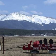
The area is best accessed via trails near Silverthorne, and visitors should be prepared for changing weather conditions at elevation. Good gear and navigation skills are important since the terrain is exposed and undeveloped.

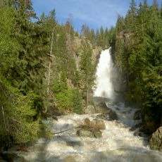
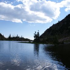
The South Fork of Williams Fork flows through the area creating a system of beaver dams and meadows that support populations of native trout species. These wet zones form pockets of life in the otherwise harsh alpine setting.

The community of curious travelers

AroundUs brings together thousands of curated places, local tips, and hidden gems, enriched daily by 60,000 contributors worldwide.

Start exploring
Location
Inception
1993
GPS coordinates
40.35000,-106.50000
Latest update
December 13, 2025 17:07
Around this place
Middle Park
United States of America

Middle Park

54.8 km
Fish Creek Falls
United States of America

Fish Creek Falls

27.3 km
State Forest State Park
United States of America

State Forest State Park

45.2 km
United States of America

Gore Canyon

40 km
Mount Werner
United States of America

Mount Werner

23.5 km
Stagecoach State Park
United States of America

Stagecoach State Park

31.5 km
Mount Richthofen
United States of America

Mount Richthofen

53 km
Mount Zirkel Wilderness
United States of America

Mount Zirkel Wilderness

47.3 km
Nokhu Crags
United States of America

Nokhu Crags

53.6 km
Arapaho National Wildlife Refuge
United States of America

Arapaho National Wildlife Refuge

35.9 km
United States of America

Byers Canyon

44.1 km
Wolford Mountain Reservoir
United States of America

Wolford Mountain Reservoir

27.3 km
United States of America

Williams Fork Reservoir

44.7 km
Holzwarth Historic District
United States of America

Holzwarth Historic District

54.2 km
Parkview Mountain
United States of America

Parkview Mountain

30.9 km
Crawford House
United States of America

Crawford House

32.6 km
United States of America

Braddock Peak

51.8 km
Windy Gap Reservoir
United States of America

Windy Gap Reservoir

51.8 km
Stagecoach Dam
United States of America

Stagecoach Dam

29.1 km
Waterwheel
United States of America

Waterwheel

53.1 km
Christian Science Society
United States of America

Christian Science Society

32 km
Stagecoach Swim Beach
United States of America

Stagecoach Swim Beach

31.1 km
Chamber of Commerce Building (Steamboat Springs, Colorado)
United States of America

Chamber of Commerce Building (Steamboat Springs, Colorado)

32.6 km
First National Bank Building
United States of America

First National Bank Building

32.1 km
Foidel Canyon School
United States of America

Foidel Canyon School

47.1 km
Little Buckaroo Ranch Barn
United States of America

Little Buckaroo Ranch Barn

54.4 km
Fleshut Cabin
United States of America

Fleshut Cabin

54.8 km
Park Theater
United States of America

Park Theater

46.2 km
Show the full map
Reviews
Share your experience

No review yet

Discussions
Start a discussion...

No discussion yet

« Ptarmigan Peak Wilderness - Protected wilderness area in Colorado, United States » is provided by Around Us (aroundus.com). Images and texts are derived from Wikimedia project under a Creative Commons license. You are allowed to copy, distribute, and modify copies of this page, under the conditions set by the license, as long as this note is clearly visible.

Discover hidden gems everywhere you go!

From secret cafés to breathtaking viewpoints, skip the crowded tourist spots and find places that match your style. Our app makes it easy with voice search, smart filtering, route optimization, and insider tips from travelers worldwide. Download now for the complete mobile experience.

Around Us App Screenshot

A unique approach to discovering new places

Le Figaro

All the places worth exploring

France Info

A tailor-made excursion in just a few clicks

20 Minutes

Around Us
Travel Guide & Maps
Download

Send to your phone

QR Code
1

Open the camera app on your mobile.

2

Point at the QR code with your camera. A notification will appear.

3

Tap the notification to open the link.