Chest opened
+${chestReward.xp} XP
Explorer
NOUVEAU ×${chestReward.collectible.quantity}
tapez pour fermer
Chest locked

Open chests in the app

Around Us is built for your phone — chests unlock when you walk, explore and capture nearby places.

Enable Location

We need your location to show you interesting places around you

Discover nearby places

Find interesting locations and hidden gems around you

Precise directions

Get accurate directions and distances to places

Your location is never shared with other users. It's only used when you tap the location button.

Log in to your account

Start exploring — it's free

Trusted by 73,004 travelers worldwide

Continue with Google
Continue with Apple
or

We will send you a code to connect

By continuing, you accept our Terms and Conditions and our Privacy Policy

Check your inbox

We've sent a pincode in your inbox. Please enter the code below.

The Meadows, Castle Rock, Colorado
Discussion Reviews Photo
2.4k Popularity

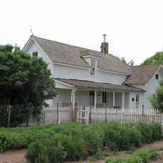
The Meadows, Castle Rock, Colorado, Residential community in Castle Rock, Colorado.

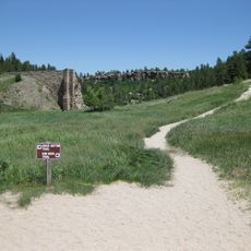
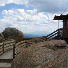
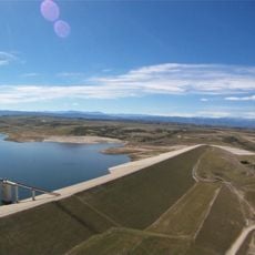
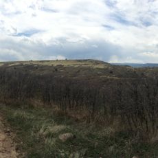
The Meadows is a master-planned residential community in Castle Rock covering more than 1,000 acres of developed and public spaces. The neighborhood connects through approximately 24 miles of trails that wind through the Rampart Range along the Front Range of the Rocky Mountains.

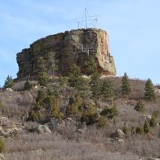
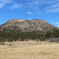
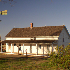
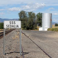
This master-planned community was developed near the historic landmark of Castle Rock, positioned strategically along the Front Range corridor. The location between Denver and Colorado Springs made it a significant settlement point in the region.

The community gathers at The Grange Cultural Arts Center, where residents take piano and Spanish lessons or attend seasonal events together. This hub reflects how the neighborhood values shared learning and group activities.

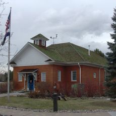
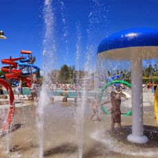
The neighborhood has three elementary schools, a middle school, and a high school serving families across all age levels. Visitors can access the trail system from multiple points throughout the area and find good walking opportunities in most seasons.

About one quarter of the land here stays as natural space with parks, trails, and open areas for outdoor activities. This balance between building and preserving nature is unusual for residential communities of this size.

The community of curious travelers

AroundUs brings together thousands of curated places, local tips, and hidden gems, enriched daily by 60,000 contributors worldwide.

Start exploring
Location
GPS coordinates
39.40000,-104.90000
Latest update
December 13, 2025 11:40
Around this place
Castlewood Canyon State Park
United States of America

Castlewood Canyon State Park

15.9 km
Chatfield State Park
United States of America

Chatfield State Park

21 km
Roxborough State Park
United States of America

Roxborough State Park

14.9 km
Chatfield Reservoir
United States of America

Chatfield Reservoir

21.7 km
Devil's Head Lookout
United States of America

Devil's Head Lookout

23.3 km
Denver Colorado Temple
United States of America

Denver Colorado Temple

19.6 km
Castle Rock
United States of America

Castle Rock

4.4 km
Devils Head
United States of America

Devils Head

23.3 km
Rueter-Hess Reservoir
United States of America

Rueter-Hess Reservoir

11.8 km
Colorado Renaissance Festival
United States of America

Colorado Renaissance Festival

19 km
Platte Canyon
United States of America

Platte Canyon

20.1 km
Dawson Butte
United States of America

Dawson Butte

11.6 km
Cherry Creek Bridge
United States of America

Cherry Creek Bridge

16.4 km
Cherokee Ranch
United States of America

Cherokee Ranch

7.2 km
Seventeen Mile House
United States of America

Seventeen Mile House

21.1 km
Ridgeline Open Space
United States of America

Ridgeline Open Space

3 km
Pike's Peak Grange No. 163
United States of America

Pike's Peak Grange No. 163

11.9 km
Castle Rock Depot
United States of America

Castle Rock Depot

4.3 km
Hildebrand Ranch
United States of America

Hildebrand Ranch

24.1 km
Church of St. Philip-in-the-Field and Bear Canon Cemetery
United States of America

Church of St. Philip-in-the-Field and Bear Canon Cemetery

6.2 km
Ruth Memorial Methodist Episcopal Church
United States of America

Ruth Memorial Methodist Episcopal Church

17.9 km
Reginald Sinclaire House
United States of America

Reginald Sinclaire House

14 km
Santa Fe Railway Water Tank
United States of America

Santa Fe Railway Water Tank

7.1 km
First National Bank of Douglas County
United States of America

First National Bank of Douglas County

4.6 km
Curtis School
United States of America

Curtis School

24 km
John Kinner House
United States of America

John Kinner House

15.1 km
Marjorie Park(Fiddlers Green Art Park)
United States of America

Marjorie Park(Fiddlers Green Art Park)

22.5 km
H2O'Brien Water Park
United States of America

H2O'Brien Water Park

17.8 km
Show the full map
Reviews
Share your experience

No review yet

Discussions
Start a discussion...

No discussion yet

« The Meadows, Castle Rock, Colorado - Residential community in Castle Rock, Colorado » is provided by Around Us (aroundus.com). Images and texts are derived from Wikimedia project under a Creative Commons license. You are allowed to copy, distribute, and modify copies of this page, under the conditions set by the license, as long as this note is clearly visible.

Discover hidden gems everywhere you go!

From secret cafés to breathtaking viewpoints, skip the crowded tourist spots and find places that match your style. Our app makes it easy with voice search, smart filtering, route optimization, and insider tips from travelers worldwide. Download now for the complete mobile experience.

Around Us App Screenshot

A unique approach to discovering new places

Le Figaro

All the places worth exploring

France Info

A tailor-made excursion in just a few clicks

20 Minutes

Around Us
Travel Guide & Maps
Download

Send to your phone

QR Code
1

Open the camera app on your mobile.

2

Point at the QR code with your camera. A notification will appear.

3

Tap the notification to open the link.