Roosevelt National Forest, National forest in northern Colorado, United States.
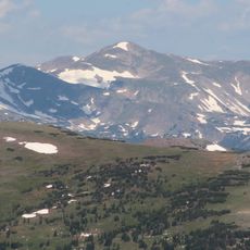
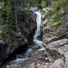
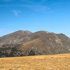
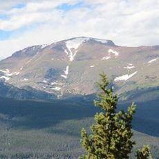
Roosevelt National Forest covers 813,799 acres (3,293 km²) of the Front Range foothills on the eastern side of the Continental Divide, in Larimer, Boulder, Gilpin and Jefferson counties. It includes the upper valleys of the Cache la Poudre and Big Thompson rivers and forested slopes along both sides of the Poudre Canyon. It is managed with Arapaho National Forest and Pawnee National Grassland from Fort Collins, in two ranger districts: Canyon Lakes (Fort Collins) and Boulder.
The forest began on May 22, 1902 as part of the Medicine Bow Forest Reserve. It was renamed Colorado National Forest in 1910, then renamed to honor President Theodore Roosevelt in 1932 by a decision of Herbert Hoover. It is administered jointly with Arapaho National Forest and Pawnee National Grassland from Fort Collins.
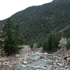
The forest's name honors Theodore Roosevelt, who set aside many national forests; Herbert Hoover's 1932 decision renamed Colorado National Forest for him. The Cache la Poudre, the only federally designated National Wild and Scenic River in the forest, draws fly fishers and kayakers. Volunteers from the Poudre Wilderness Volunteers help the Forest Service manage trails and wilderness areas.
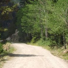
Start at the ranger office in Fort Collins to get maps, current information about trail conditions, and details about seasonal changes in the forest. It is important to check road access before you go, since many routes become impassable during winter months.
The forest's six designated wilderness areas include Indian Peaks, 119.9 square miles, mostly in the neighbouring Arapaho National Forest and partly in Rocky Mountain National Park, and Rawah, 119.4 square miles, partly in Routt National Forest. The smallest, Cache La Poudre Wilderness, covers 14.47 square miles.
The community of curious travelers
AroundUs brings together thousands of curated places, local tips, and hidden gems, enriched daily by 94,587 contributors worldwide.