Platte County

Log in to your account

AroundUs is a community-driven map of interesting places, built by curious explorers like you. It grows with every review, story, and photo you share.
Connect to save your favorite spots, contribute locations, and create personalized routes.
Continue with Google
Continue with Apple
Continue with X
Continue with Facebook
Continue with email
By continuing, you accept our Terms and Conditions and our Privacy Policy
Create an account
Add to collection
Map
Suggest a change
Share

Platte County, Administrative division in southeastern Wyoming, United States.

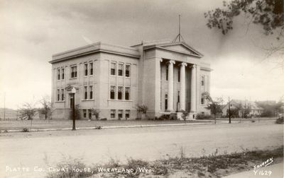
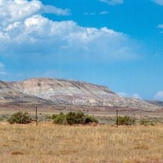
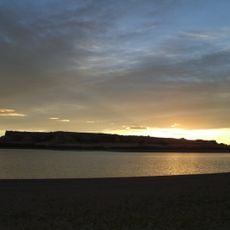
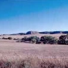
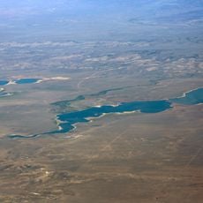
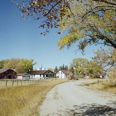
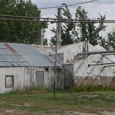
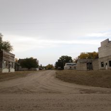
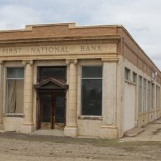
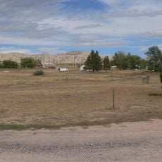
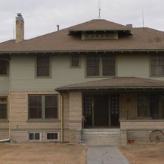
Platte County is an administrative division in southeastern Wyoming covering varied terrain where prairies meet mountain ranges. Wheatland serves as the county seat and primary administrative center for the region.

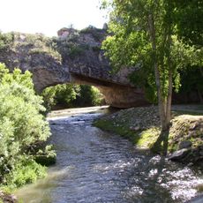
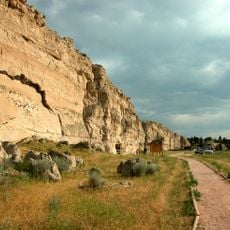
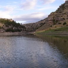
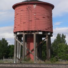
This county was established in 1911 and took its name from the North Platte River flowing through the region. The river shaped early settlement patterns and remains a geographical landmark defining the landscape.

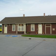
The county government maintains strong connections with residents through regular public meetings and community events held throughout the year.

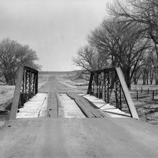
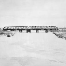
The area is served by an extensive network of paved and gravel roads maintained by the local Road and Bridge Department. These routes connect communities throughout the region and provide reliable access across varied terrain.

The County Assessor's Office conducts annual property valuations while the District Court processes cases ranging from adoptions to criminal matters.

GPS coordinates: 42.09231,-104.98710

Latest update: December 8, 2025 13:42

Photos
Around this place
Fort Laramie
United States of America

Fort Laramie

39.4 km
Oregon Trail Ruts
United States of America

Oregon Trail Ruts

26.8 km
Como Bluff
United States of America

Como Bluff

91.2 km
Ayres Natural Bridge Park
United States of America

Ayres Natural Bridge Park

88 km
Register Cliff
United States of America

Register Cliff

28.8 km
Glendo State Park
United States of America

Glendo State Park

51.6 km
Guernsey State Park
United States of America

Guernsey State Park

29.6 km
Glendo Reservoir
United States of America

Glendo Reservoir

43.2 km
Cheyenne-Black Hills Stage Route and Rawhide Buttes and Running Water Stage Stations
United States of America

Cheyenne-Black Hills Stage Route and Rawhide Buttes and Running Water Stage Stations

86.4 km
Hawk Springs State Recreation Area
United States of America

Hawk Springs State Recreation Area

78.2 km
Signal Butte
United States of America

Signal Butte

95.3 km
Wheatland Reservoir
United States of America

Wheatland Reservoir

11.2 km
Swan Land and Cattle Company Headquarters
United States of America

Swan Land and Cattle Company Headquarters

40.1 km
C and H Refinery Historic District
United States of America

C and H Refinery Historic District

85.5 km
Jay Em Historic District
United States of America

Jay Em Historic District

65.4 km
Lusk Water Tower
United States of America

Lusk Water Tower

87 km
First National Bank of Rock River
United States of America

First National Bank of Rock River

90.8 km
Christ Episcopal Church and Rectory
United States of America

Christ Episcopal Church and Rectory

81.1 km
EWZ Bridge over East Channel of Laramie River
United States of America

EWZ Bridge over East Channel of Laramie River

14.2 km
Morton Mansion
United States of America

Morton Mansion

81 km
Douglas City Hall
United States of America

Douglas City Hall

81 km
Platte County Courthouse
United States of America

Platte County Courthouse

5 km
DOE Bridge over Laramie River
United States of America

DOE Bridge over Laramie River

78.6 km
Site of Ferdinand Branstetter Post No. 1, American Legion
United States of America

Site of Ferdinand Branstetter Post No. 1, American Legion

97.1 km
M.B. Quivey House
United States of America

M.B. Quivey House

98.5 km
Douglas Railroad Interpretive Center
United States of America

Douglas Railroad Interpretive Center

81.2 km
Guernsey Museum
United States of America

Guernsey Museum

29.2 km
Guernsey Reservoir
United States of America

Guernsey Reservoir

28.5 km
Show the full map
Reviews

Visited this place? Tap the stars to rate it and share your experience / photos with the community! Try now! You can cancel it anytime.

« Platte County - Administrative division in southeastern Wyoming, United States » is provided by Around Us (aroundus.com). Images and texts are derived from Wikimedia project under a Creative Commons license. You are allowed to copy, distribute, and modify copies of this page, under the conditions set by the license, as long as this note is clearly visible.

Discover hidden gems everywhere you go!

From secret cafés to breathtaking viewpoints, skip the crowded tourist spots and find places that match your style. Our app makes it easy with voice search, smart filtering, route optimization, and insider tips from travelers worldwide. Download now for the complete mobile experience.

Around Us App Screenshot

A unique approach to discovering new places

Le Figaro

All the places worth exploring

France Info

A tailor-made excursion in just a few clicks

20 Minutes