
Stockade Point, cliff in Crook County, Oregon, United States of America
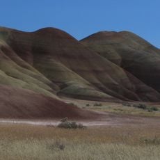
Painted Hills
69.6 km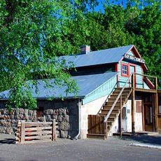
Kam Wah Chung Company Building
67 km
Strawberry Mountain Wilderness
75.7 km
Bridge Creek Wilderness
52 km
James Cant Ranch
43 km
Black Canyon Wilderness
19 km
Mill Creek Wilderness
72.2 km
Clyde Holliday State Recreation Site
57.5 km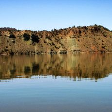
Prineville Reservoir Wildlife Area
81.6 km
Old Camp Casino
82.8 km
Chickahominy Reservoir
70.6 km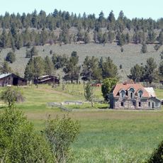
Roba Ranch
22.9 km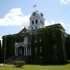
Crook County Courthouse
90.4 km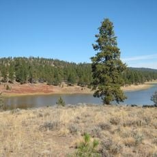
Antelope Flat Reservoir
56.7 km
A. R. Bowman Memorial Museum
90.7 km
Advent Christian Church
67.1 km
Thomas M. Baldwin House
90.7 km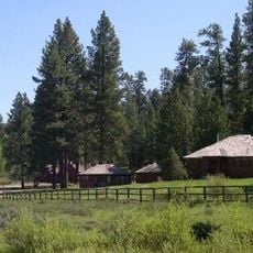
Allison Ranger Station
30.2 km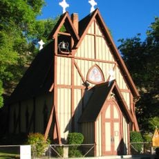
St. Thomas' Episcopal Church
66.3 km
Old First National Bank of Prineville
90.7 km
Supervisor's House No. 1001
67.4 km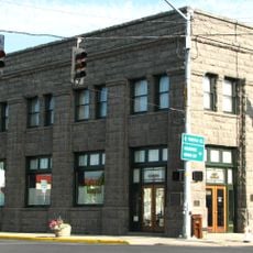
Crook County Bank Building
90.6 km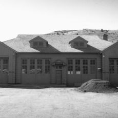
John Day Compound
66.7 km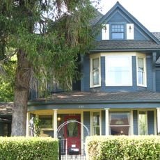
Marion Reed Elliott House
90.7 km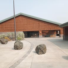
Thomas Condon Paleontology Center
42.7 km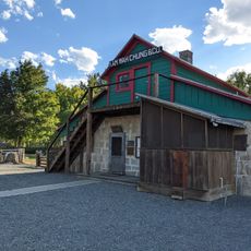
Kam Wah Chung State Heritage Site
67 km
Desert Theatre
84.6 km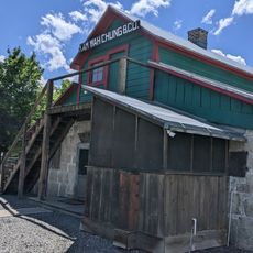
Kam Wah Chung Chinese Heritage Site
67 kmReviews
Visited this place? Tap the stars to rate it and share your experience / photos with the community! Try now! You can cancel it anytime.
Discover hidden gems everywhere you go!
From secret cafés to breathtaking viewpoints, skip the crowded tourist spots and find places that match your style. Our app makes it easy with voice search, smart filtering, route optimization, and insider tips from travelers worldwide. Download now for the complete mobile experience.

A unique approach to discovering new places❞
— Le Figaro
All the places worth exploring❞
— France Info
A tailor-made excursion in just a few clicks❞
— 20 Minutes