Chest opened
+${chestReward.xp} XP
Explorer
NOUVEAU ×${chestReward.collectible.quantity}
tapez pour fermer
Chest locked

Open chests in the app

Around Us is built for your phone — chests unlock when you walk, explore and capture nearby places.

Enable Location

We need your location to show you interesting places around you

Discover nearby places

Find interesting locations and hidden gems around you

Precise directions

Get accurate directions and distances to places

Your location is never shared with other users. It's only used when you tap the location button.

Boise National Forest

Log in to your account

Start exploring — it's free

Trusted by 72,989 travelers worldwide

Continue with Google
Continue with Apple
or

We will send you a code to connect

By continuing, you accept our Terms and Conditions and our Privacy Policy

Check your inbox

We've sent a pincode in your inbox. Please enter the code below.

Boise National Forest
Discussion Reviews 1 Photos
21.1k Popularity

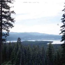
Boise National Forest, National Forest in Idaho, United States.

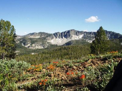
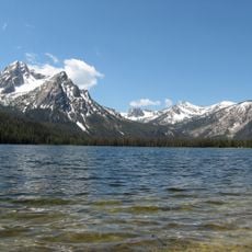
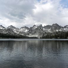
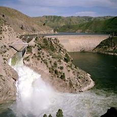
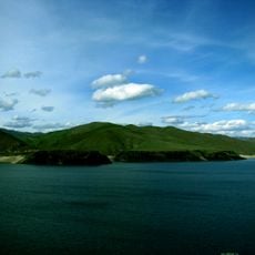
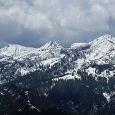
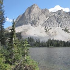
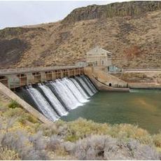
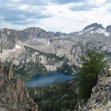
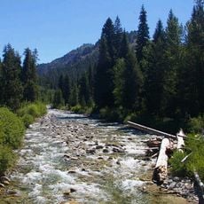
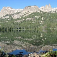
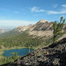
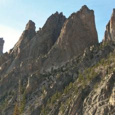
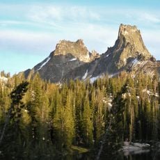
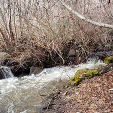
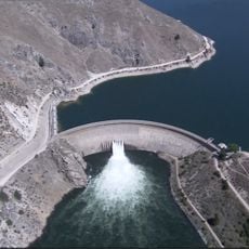
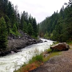
Boise National Forest is a national forest in Idaho spread across six counties, featuring mountain terrain, river systems, and diverse ecosystems that support wildlife. The landscape combines forest stands, alpine valleys, and numerous water features that define the region.

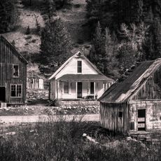
The forest was established in 1908 when it was separated from the original Sawtooth National Forest to create a distinct protected area. Gold mining became a major activity through the early and mid-twentieth century before operations eventually declined.

The land has deep roots in Shoshone history and shapes how local communities view the forest as a shared natural resource. Place names and water features throughout the region still carry indigenous names that reflect this long connection.

The forest offers numerous campgrounds and an extensive trail system for hiking, biking, horseback riding, and vehicle-based activities. Plan your visit between May and October when most roads and trails are accessible and weather conditions are favorable.

The forest is home to roughly three-quarters of all known Sacajawea bitterroot populations, a flowering plant found nowhere else in Idaho. This rare plant thrives in specific mountain habitats and remains closely monitored by conservation experts.

The community of curious travelers

AroundUs brings together thousands of curated places, local tips, and hidden gems, enriched daily by 60,000 contributors worldwide.

Start exploring
Location
Location
Location
Location
Location
GPS coordinates
43.81250,-115.56250
Latest update
December 7, 2025 10:05
Around this place
Old Idaho State Penitentiary
United States of America

Old Idaho State Penitentiary

53.6 km
Sawtooth National Recreation Area
United States of America

Sawtooth National Recreation Area

48.7 km
Sawtooth Wilderness
United States of America

Sawtooth Wilderness

44.9 km
Arrowrock Dam
United States of America

Arrowrock Dam

37.7 km
Deadwood Reservoir
United States of America

Deadwood Reservoir

54 km
Lucky Peak State Park
United States of America

Lucky Peak State Park

50.6 km
Lucky Peak Lake
United States of America

Lucky Peak Lake

50.2 km
Idaho Botanical Garden
United States of America

Idaho Botanical Garden

53.6 km
Old Idaho Penitentiary Site
United States of America

Old Idaho Penitentiary Site

53.6 km
Iron Mountain
United States of America

Iron Mountain

51.6 km
El Capitan
United States of America

El Capitan

52.5 km
Diversion Dam and Deer Flat Embankments
United States of America

Diversion Dam and Deer Flat Embankments

52.6 km
Snowyside Peak
United States of America

Snowyside Peak

49.5 km
Barber Park
United States of America

Barber Park

53.8 km
Robert E. Lee Campground
United States of America

Robert E. Lee Campground

14.6 km
United States of America

Artesian Water Co. Pumphouse and Wells

53.6 km
Parks Peak
United States of America

Parks Peak

53.4 km
Sevy Peak
United States of America

Sevy Peak

52.8 km
Bishop Funsten House
United States of America

Bishop Funsten House

53.5 km
Payette Peak
United States of America

Payette Peak

50.3 km
South Boise Historic Mining District
United States of America

South Boise Historic Mining District

27.4 km
Cirque Lake Peak
United States of America

Cirque Lake Peak

50.6 km
Packrat Peak
United States of America

Packrat Peak

49.8 km
Atlanta Ranger Station Historic District
United States of America

Atlanta Ranger Station Historic District

34.7 km
H. C. Burnett House
United States of America

H. C. Burnett House

54 km
Dry Creek
United States of America

Dry Creek

51.5 km
Arrowrock Reservoir
United States of America

Arrowrock Reservoir

31.8 km
Boise National Forest
United States of America

Boise National Forest

32.8 km
Show the full map
Reviews
Share your experience

No review yet

Discussions
Start a discussion...

No discussion yet

« Boise National Forest - National Forest in Idaho, United States » is provided by Around Us (aroundus.com). Images and texts are derived from Wikimedia project under a Creative Commons license. You are allowed to copy, distribute, and modify copies of this page, under the conditions set by the license, as long as this note is clearly visible.

Discover hidden gems everywhere you go!

From secret cafés to breathtaking viewpoints, skip the crowded tourist spots and find places that match your style. Our app makes it easy with voice search, smart filtering, route optimization, and insider tips from travelers worldwide. Download now for the complete mobile experience.

Around Us App Screenshot

A unique approach to discovering new places

Le Figaro

All the places worth exploring

France Info

A tailor-made excursion in just a few clicks

20 Minutes

Around Us
Travel Guide & Maps
Download

Send to your phone

QR Code
1

Open the camera app on your mobile.

2

Point at the QR code with your camera. A notification will appear.

3

Tap the notification to open the link.