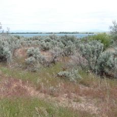
Snake River Plain, Volcanic plain in southern Idaho, US
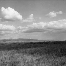
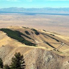
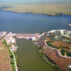
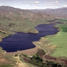
The Snake River Plain extends across southern Idaho, featuring basalt formations, volcanic buttes, and fertile agricultural lands that the Snake River runs through. The river shapes the entire region and makes irrigation of the large farming areas possible.
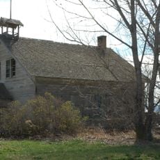
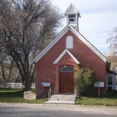
Shoshone and Bannock peoples used this area for generations as hunting grounds and trade routes. Later, the arrival of European settlers brought major changes to settlement and how the land was used.
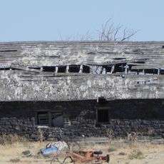
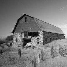
Farming communities throughout this region maintain strong agricultural traditions, with families tending crops like potatoes, grains, and sugar beets in the mineral-rich soil. The work of these farmers shapes the landscape and daily rhythms you see today.
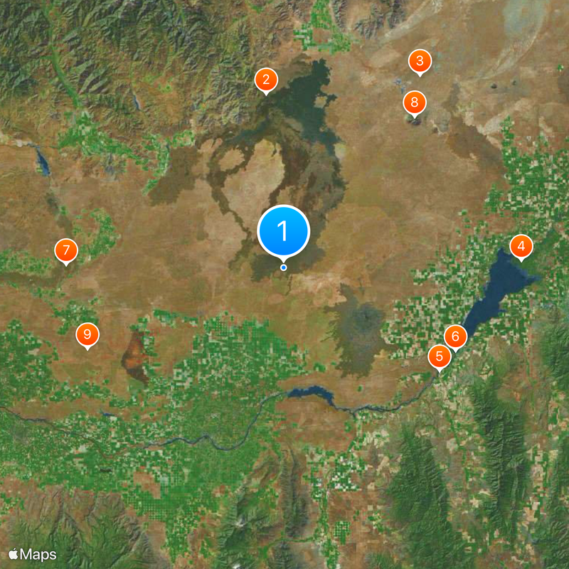
This area is best explored by car along the main highways that cross the plain. Good access to viewpoints and natural areas makes visiting possible throughout the year.
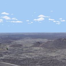
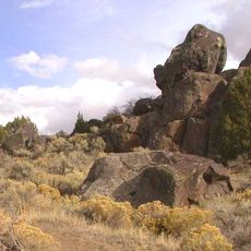
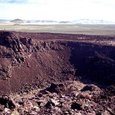
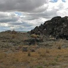
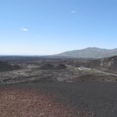
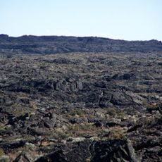
This plain marks the path of the North American Plate moving over the Yellowstone hotspot, creating different volcanic features across the landscape that show its movement over time. You can see these traces in the rock formations as you travel through.
The community of curious travelers
AroundUs brings together thousands of curated places, local tips, and hidden gems, enriched daily by 60,000 contributors worldwide.