
A Peak, Berggipfel in den Vereinigten Staaten
Farragut State Park
72.3 km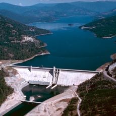
Libby Dam
34.4 km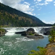
Kootenai Falls
24.6 km
Idaho Panhandle National Forests
69.7 km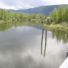
Kootenai National Wildlife Refuge
74 km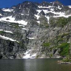
Snowshoe Peak
1.9 km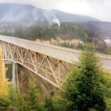
Moyie River Canyon Bridge
65.2 km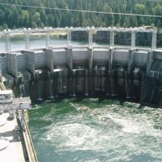
Cabinet Gorge Dam
31.9 km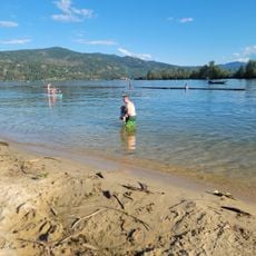
City Beach
62.5 km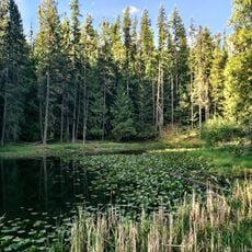
Round Lake State Park
70.1 km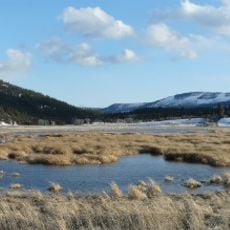
Lost Trail National Wildlife Refuge
60.2 km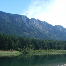
Thompson Falls State Park
72.9 km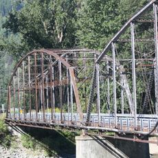
Theodore Roosevelt Memorial Bridge
29.2 km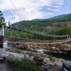
Kootenai Falls Swinging Bridge
24.5 km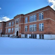
Libby High School
19.8 km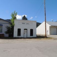
Troy Jail
28.7 km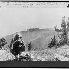
Cabinet National Forest
34.7 km
Eureka Community Hall
75.5 km
Dover Church
67.2 km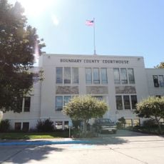
Boundary County Courthouse
68.2 km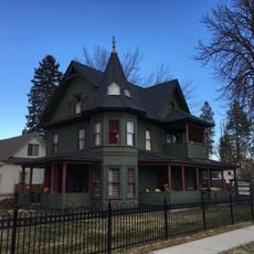
Amanda Nesbitt House
63.3 km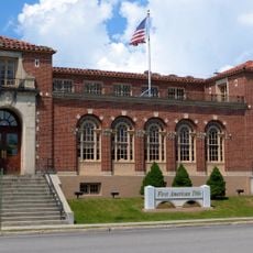
Sandpoint Federal Building
63.1 km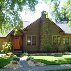
Russell and Pearl Soderling House
68.1 km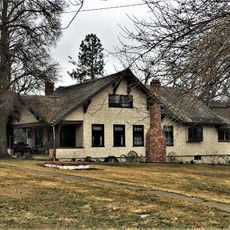
Ainsworth House
76.1 km
Bull River Guard Station
15.8 km
Thayer House
76.1 km
Grandchamp House
75.9 km
Hoyt House
76 kmReviews
Visited this place? Tap the stars to rate it and share your experience / photos with the community! Try now! You can cancel it anytime.
Discover hidden gems everywhere you go!
From secret cafés to breathtaking viewpoints, skip the crowded tourist spots and find places that match your style. Our app makes it easy with voice search, smart filtering, route optimization, and insider tips from travelers worldwide. Download now for the complete mobile experience.

A unique approach to discovering new places❞
— Le Figaro
All the places worth exploring❞
— France Info
A tailor-made excursion in just a few clicks❞
— 20 Minutes