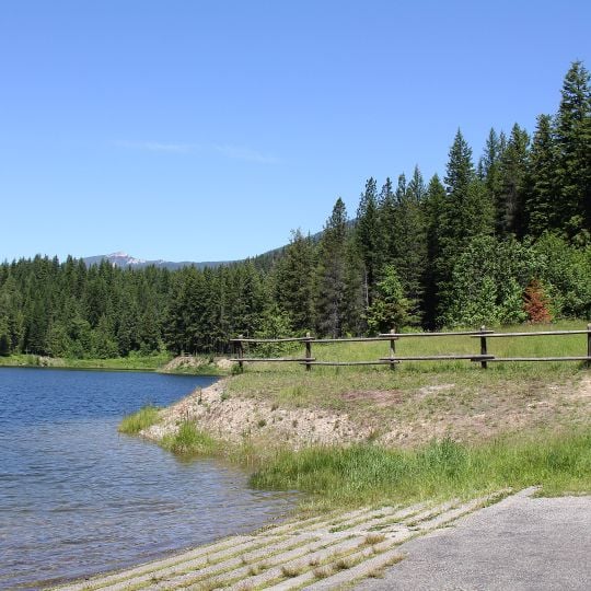
Kootenai National Forest, National forest in Montana and Idaho, United States
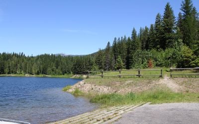
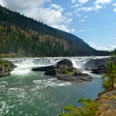
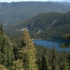
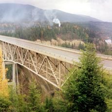
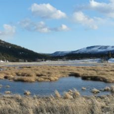
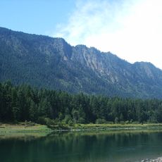
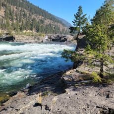
Kootenai National Forest is a vast protected area in northwestern Montana and northern Idaho, covering over 2 million acres (about 800,000 hectares). It features rugged mountains, deep valleys, and numerous rivers and lakes, with elevations ranging from about 1,800 to 8,700 feet (550 to 2,650 meters).
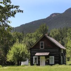
The forest was established in 1907 as part of the national forest system, following decades of logging and mining in the region. In the 1930s, the Civilian Conservation Corps built many of the trails and structures that are still in use today.
The forest is named after the Kootenai people, who have lived in the region for thousands of years and maintain cultural ties to the land. Today, visitors can explore interpretive sites and museums in nearby towns that share the history and traditions of the Kootenai and other tribes.
Visitors can access the forest via several highways, including US Route 2 and State Route 56, with numerous developed campgrounds and trailheads available. Check road conditions before traveling, as some areas are remote and services are limited, especially in winter.
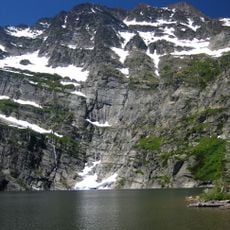
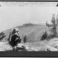
The forest contains the Cabinet Mountains Wilderness, a roadless area with rugged peaks and alpine lakes that offers a sense of solitude rare in the lower 48 states. It is also home to a small population of grizzly bears, which visitors should be aware of when hiking in remote areas.
The community of curious travelers
AroundUs brings together thousands of curated places, local tips, and hidden gems, enriched daily by 94,586 contributors worldwide.