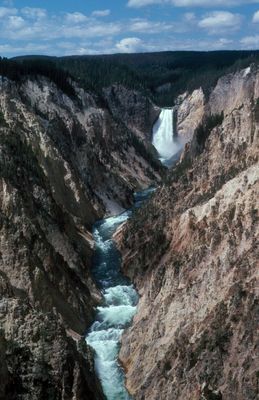
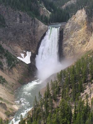
Yellowstone River, Natural river system in Montana, United States
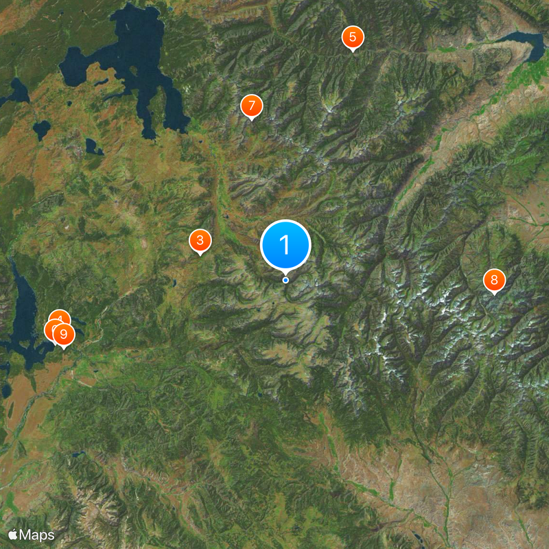
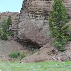
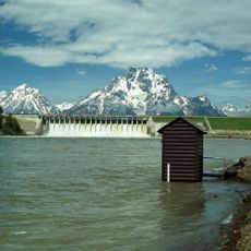
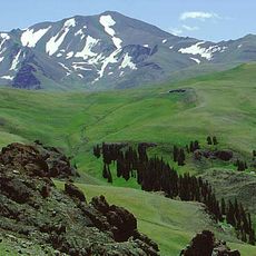
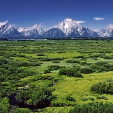
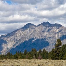
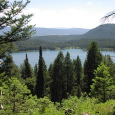
The Yellowstone River flows 676 miles (1088 kilometers) from Yellowstone National Park through Montana, maintaining its natural course without dams until it reaches the Missouri River. The riverbed winds through wide grasslands, deep canyons, and low hills, with gravel bars and wooded banks alternating along its path.
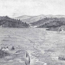
William Clark mapped this waterway during the Lewis and Clark Expedition in 1806, documenting its course through the northern plains. The route remained an important landmark for fur traders, settlers, and railroad builders during the westward expansion of the 19th century.
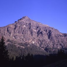
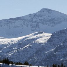
The Minnetaree Indians called this waterway Mi tse a-da-zi, meaning Yellow Rock River, while French trappers named it Roche Jaune. The current name comes from the ochre-colored rocks in the national park near its source, which impressed early explorers and travelers.
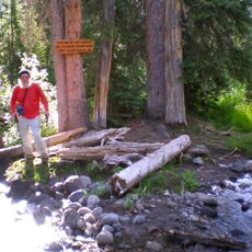
Multiple access points lie along Interstate 90 and Interstate 94, offering opportunities for fishing, boating, and other outdoor activities. The current can be strong, especially in late spring and early summer when snowmelt from the mountains raises the water level.
Montana agates form in the gravel beds between Custer and Sidney, drawing collectors who search for these mineral formations. The best finds often appear after high water, when the river rearranges the gravel bars and exposes older layers.
The community of curious travelers
AroundUs brings together thousands of curated places, local tips, and hidden gems, enriched daily by 60,000 contributors worldwide.