
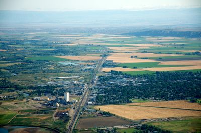
Worland, city in Wyoming, United States
Location: Washakie County
Inception: 1900
Elevation above the sea: 1,239 m
Website: http://worlandwy.govoffice3.com
GPS coordinates: 44.01539,-107.95663
Latest update: March 12, 2025 21:21
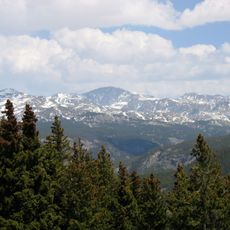
Cloud Peak
74.6 km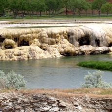
Hot Springs State Park
44.6 km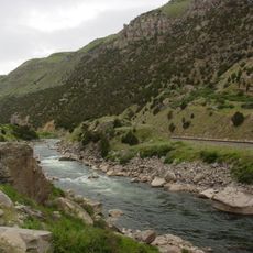
Wind River Canyon
58 km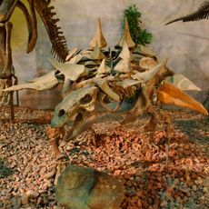
Wyoming Dinosaur Center
45.8 km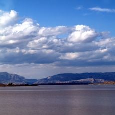
Boysen Reservoir
68.9 km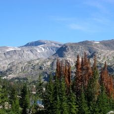
Bomber Mountain
75 km
Cloud Peak Wilderness
73.8 km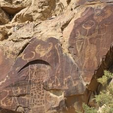
Legend Rock
57.1 km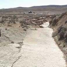
Red Gulch Dinosaur Tracksite
54.1 km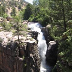
Shell Falls
69.2 km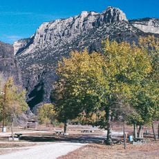
Boysen State Park
69 km
Wyoming Basin
3.9 kmBighorn Peak
72.9 km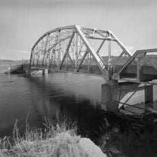
CQA Four Mile Bridge
49.7 km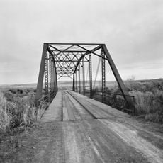
EFP Bridge over Owl Creek
50.3 km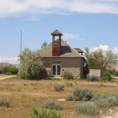
Lower Shell School House
56.3 kmDarton Peak
73.6 km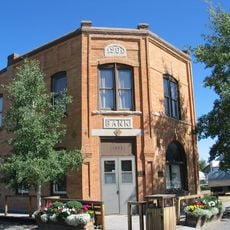
First National Bank of Meeteetse
73.7 km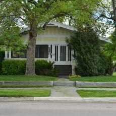
Worland House
417 m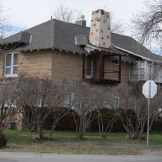
Alex Halone House
46.1 km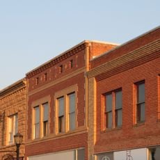
Downtown Thermopolis Historic District
45.9 km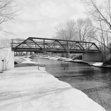
EJE Bridge over Shell Creek
59.1 km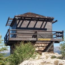
James T. Saban Lookout
62.1 km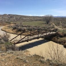
EJP County Line Bridge
27.5 km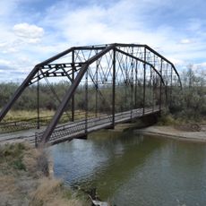
Rairden Bridge
20.2 km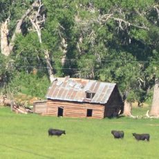
Ainsworth House
57 km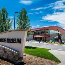
Washakie Museum & Cultural Center
1.3 km
Tyrrel Ranger Station
59.6 kmVisited this place? Tap the stars to rate it and share your experience / photos with the community! Try now! You can cancel it anytime.
Discover hidden gems everywhere you go!
From secret cafés to breathtaking viewpoints, skip the crowded tourist spots and find places that match your style. Our app makes it easy with voice search, smart filtering, route optimization, and insider tips from travelers worldwide. Download now for the complete mobile experience.

A unique approach to discovering new places❞
— Le Figaro
All the places worth exploring❞
— France Info
A tailor-made excursion in just a few clicks❞
— 20 Minutes