Washakie County

Log in to your account

AroundUs is a community-driven map of interesting places, built by curious explorers like you. It grows with every review, story, and photo you share.
Connect to save your favorite spots, contribute locations, and create personalized routes.
Continue with Google
Continue with Apple
Continue with X
Continue with Facebook
Continue with email
By continuing, you accept our Terms and Conditions and our Privacy Policy
Create an account
Add to collection
Map
Suggest a change
Share

Washakie County, County administration in Wyoming, US.

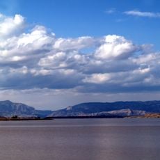
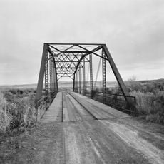
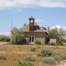
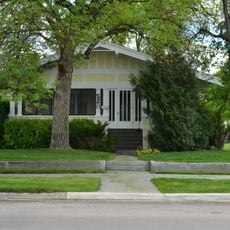
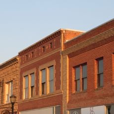
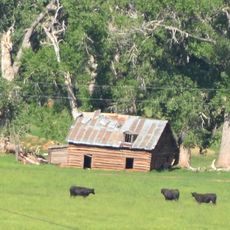
Washakie County is an administrative division in Wyoming with forests and open lands that stretch across extensive territory. The area includes several smaller towns, with Worland as the largest serving as the economic center.

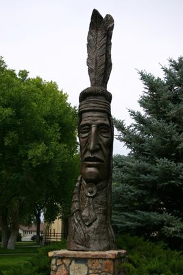
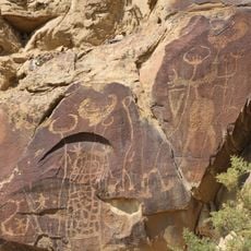
The county was established in 1911 and named to honor a significant leader of the indigenous people in the area. This naming reflects the historical importance of the Shoshone in the region's development.

The area shows influences from different groups who have shaped traditions and local customs over generations. Visitors can see this diversity in shops, restaurants, and at public gatherings in the county's towns.

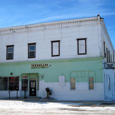
Visitors can find important administrative offices in the town centers, particularly in Worland. It is helpful to check ahead about which offices are available at certain times.

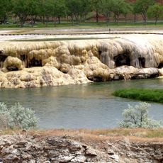
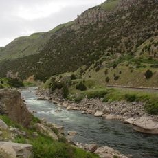
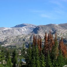
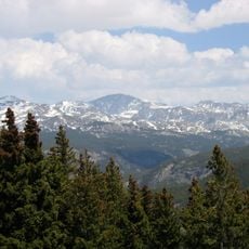
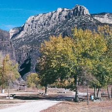
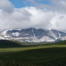
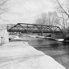
The area borders one of the region's largest forest protection areas and offers diverse opportunities for outdoor activities. This proximity to nature makes the place interesting for hikers and nature lovers.

GPS coordinates: 43.93087,-107.67041

Latest update: December 10, 2025 15:55

Photos
Around this place
Hot Springs State Park
United States of America

Hot Springs State Park

52.4 km
Wind River Canyon
United States of America

Wind River Canyon

61.4 km
Wyoming Dinosaur Center
United States of America

Wyoming Dinosaur Center

53.3 km
Boysen Reservoir
United States of America

Boysen Reservoir

70.2 km
Bomber Mountain
United States of America

Bomber Mountain

63.7 km
Cloud Peak Wilderness
United States of America

Cloud Peak Wilderness

64.1 km
Legend Rock
United States of America

Legend Rock

76.1 km
Red Gulch Dinosaur Tracksite
United States of America

Red Gulch Dinosaur Tracksite

62.5 km
Boysen State Park
United States of America

Boysen State Park

70.3 km
Wyoming Basin
United States of America

Wyoming Basin

27.5 km
United States of America

Bighorn Peak

57.7 km
CQA Four Mile Bridge
United States of America

CQA Four Mile Bridge

55.8 km
EFP Bridge over Owl Creek
United States of America

EFP Bridge over Owl Creek

63.9 km
Lower Shell School House
United States of America

Lower Shell School House

69 km
United States of America

Darton Peak

59.1 km
Worland House
United States of America

Worland House

25.1 km
Alex Halone House
United States of America

Alex Halone House

53.6 km
Downtown Thermopolis Historic District
United States of America

Downtown Thermopolis Historic District

53.7 km
EJE Bridge over Shell Creek
United States of America

EJE Bridge over Shell Creek

68 km
James T. Saban Lookout
United States of America

James T. Saban Lookout

44.7 km
C. H. King Company and First National Bank of Shoshoni
United States of America

C. H. King Company and First National Bank of Shoshoni

85.1 km
EJP County Line Bridge
United States of America

EJP County Line Bridge

26.2 km
Rairden Bridge
United States of America

Rairden Bridge

35.3 km
Ainsworth House
United States of America

Ainsworth House

32.2 km
Washakie Museum & Cultural Center
United States of America

Washakie Museum & Cultural Center

23.7 km
Tyrrel Ranger Station
United States of America

Tyrrel Ranger Station

44.2 km
Tensleep Ranger Station
United States of America

Tensleep Ranger Station

44.2 km
Thermopolis Swinging Bridge
United States of America

Thermopolis Swinging Bridge

52.3 km
Show the full map
Reviews

Visited this place? Tap the stars to rate it and share your experience / photos with the community! Try now! You can cancel it anytime.

« Washakie County - County administration in Wyoming, US » is provided by Around Us (aroundus.com). Images and texts are derived from Wikimedia project under a Creative Commons license. You are allowed to copy, distribute, and modify copies of this page, under the conditions set by the license, as long as this note is clearly visible.

Discover hidden gems everywhere you go!

From secret cafés to breathtaking viewpoints, skip the crowded tourist spots and find places that match your style. Our app makes it easy with voice search, smart filtering, route optimization, and insider tips from travelers worldwide. Download now for the complete mobile experience.

Around Us App Screenshot

A unique approach to discovering new places

Le Figaro

All the places worth exploring

France Info

A tailor-made excursion in just a few clicks

20 Minutes