
Index Crag, cliff in British Columbia, Canada
Location: British Columbia
GPS coordinates: 52.64972,-126.63652
Latest update: October 11, 2025 12:36

Mount Waddington
170.4 km
Monarch Mountain
98.1 km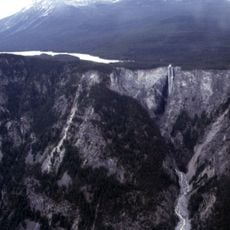
Hunlen Falls
72 km
Mount Silverthrone
131 km
Tweedsmuir South Provincial Park
46.9 km
Canadian Cascade Arc
129.9 km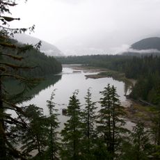
Kitlope Heritage Conservancy
79.7 km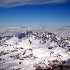
Mount Tiedemann
169.5 km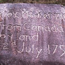
Sir Alexander Mackenzie Provincial Park
63.6 km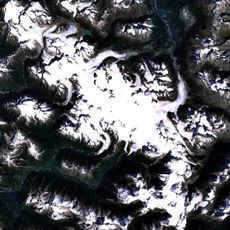
Monarch Icefield
88.1 km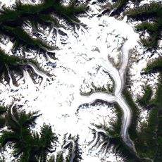
Ha-Iltzuk Icefield
145.8 km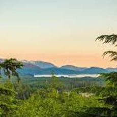
Atna River Provincial Park
170.1 km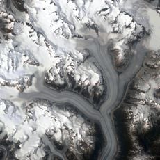
Klinaklini Glacier
144 km
Milbanke Sound Group
120.7 km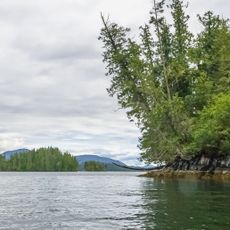
Penrose Island Marine Provincial Park
152.1 km
Mount Fitzgerald
132 km
Kingcome River
170 km
Pashleth Glacier
127.9 km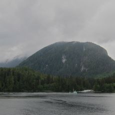
Kitasoo Spirit Bear Conservancy
145.5 km
Kingcome Glacier
139.4 km
Boat Bluff lighthouse
127.5 km
Mussel Inlet
103.5 km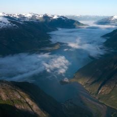
Owyacumish River Provincial Park
155.2 km
Trudel Glacier
142.8 km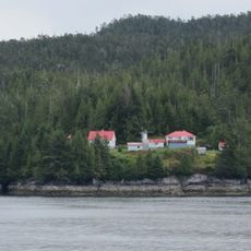
Addenbroke Island light station
143.5 km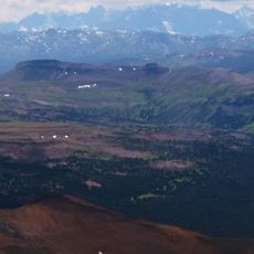
Tweedsmuir Provincial Park
57.4 km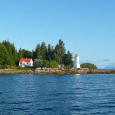
Dryad Point Lighthouse
112.7 km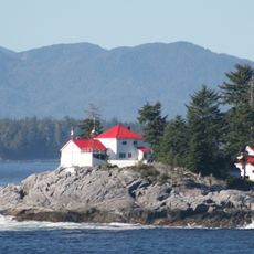
Ivory Island Lightstation
127.3 kmReviews
Visited this place? Tap the stars to rate it and share your experience / photos with the community! Try now! You can cancel it anytime.
Discover hidden gems everywhere you go!
From secret cafés to breathtaking viewpoints, skip the crowded tourist spots and find places that match your style. Our app makes it easy with voice search, smart filtering, route optimization, and insider tips from travelers worldwide. Download now for the complete mobile experience.

A unique approach to discovering new places❞
— Le Figaro
All the places worth exploring❞
— France Info
A tailor-made excursion in just a few clicks❞
— 20 Minutes