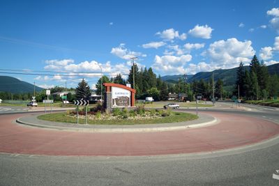
Clearwater, District municipality in Thompson-Nicola Regional District, British Columbia, Canada.
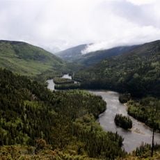
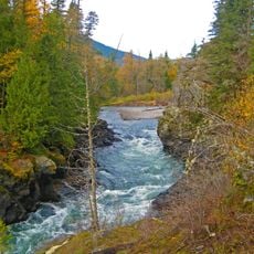
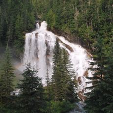
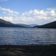
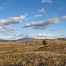
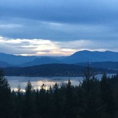
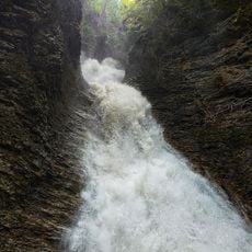
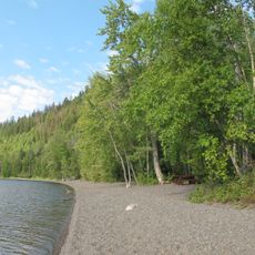
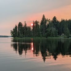
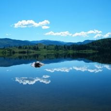
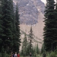
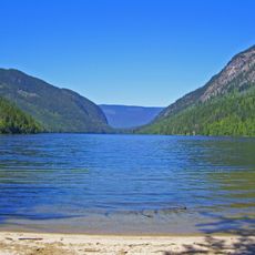
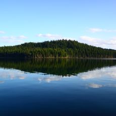
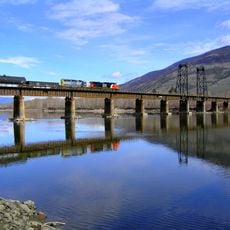
Clearwater sits at 460 meters elevation in the North Thompson River valley, surrounded by the Trophy Mountains, Raft Peak, and Dunn Peak, offering year-round access to outdoor recreational activities and serving as the primary gateway to Wells Gray Provincial Park with its extensive wilderness areas.
Originally inhabited by the Okelhs First Nations and later the Chilcotin people, Clearwater gained its name in 1862 when the Overlanders expedition noted the river's clear water compared to neighboring waterways, eventually becoming an incorporated settlement in 1968 before achieving district municipality status on December 3, 2007.
The community celebrates its connection to nature through annual outdoor festivals and wildlife viewing events, while maintaining strong ties to Indigenous heritage and fostering local identity through art fairs, craft exhibitions, and community gatherings that emphasize environmental stewardship and sustainable tourism practices.
Visitors can reach Clearwater via the Yellowhead Highway with accommodations, grocery stores, outdoor equipment rentals, and guided tour operators available, while Dr. Helmcken Memorial Hospital provides healthcare services and local schools serve students from kindergarten through grade 12 with Thompson Rivers University accessible in nearby Kamloops.
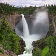
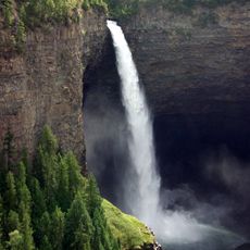
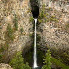
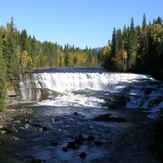
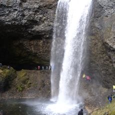
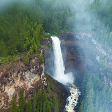
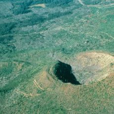
Clearwater experiences extreme temperature variations from record lows of -46°C in winter to highs near 45°C in summer, while serving over half a million annual visitors who come to explore Wells Gray Provincial Park's 5,200 square kilometers featuring Canada's fourth-highest Helmcken Falls and active volcanic formations.
The community of curious travelers
AroundUs brings together thousands of curated places, local tips, and hidden gems, enriched daily by 60,000 contributors worldwide.