Enable Location

We need your location to show you interesting places around you

Discover nearby places

Find interesting locations and hidden gems around you

Precise directions

Get accurate directions and distances to places

Your location is never shared with other users. It's only used when you tap the location button.

Boise City

Log in to your account

Join the adventure

Create your free account and start exploring (like 60k+ others)

We will send you a code to connect

or
Continue with Google
Continue with Apple
By continuing, you accept our Terms and Conditions and our Privacy Policy

Check your inbox

We've sent a pincode in your inbox. Please enter the code below.

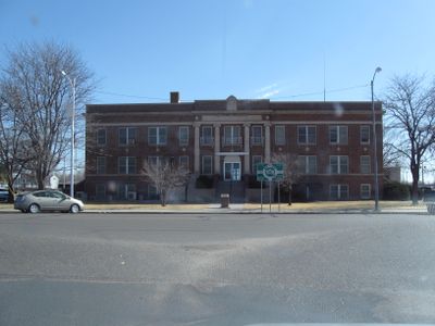
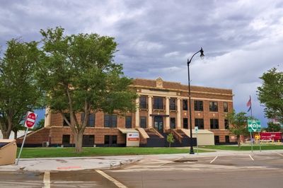
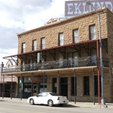
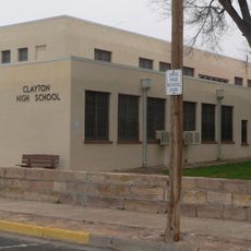
Boise City, County seat in Cimarron County, Oklahoma, United States

Description

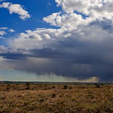
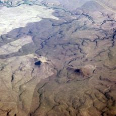
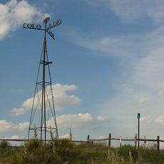
Boise City is the county seat of Cimarron County, Oklahoma, situated at an elevation of approximately 1,270 meters in the northwestern corner of the state. The town features a circular street layout that was part of its original design.

History

The town was founded in 1908 by J.E. Stanley, A.J. Kline, and W.T. Douglas, making it one of the newer settlements in the Oklahoma Panhandle. The founders later faced legal troubles that marked the community's early years.

Culture

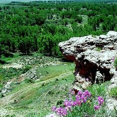
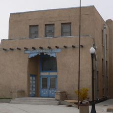
The Cimarron Heritage Center Museum displays exhibits about local history, including dinosaur discoveries and the importance of the Santa Fe Trail as a historic trading route that shaped the region.

Practical

Boise City Airport handles local aviation, while commercial flights operate from the nearby Liberal Mid-America Regional Airport in Kansas. Visitors should plan ahead since the town sits in a rural area with limited services.

Did you know?

During a nighttime training exercise in 1943, United States Army Air Forces pilots accidentally dropped practice bombs on the town. This remains one of the few known instances of a bombing on United States soil during World War II.

Location
Inception
1908
Elevation above the sea
1,270 m
GPS coordinates
36.73000,-102.51139
Latest update
December 14, 2025 20:22

AroundUs brings together thousands of curated places, local tips, and hidden gems, enriched daily by 60,000 contributors worldwide. Discover all places nearby (Cimarron County).

Around this place
Rita Blanca National Grassland
United States of America

Rita Blanca National Grassland

33.9 km
Black Mesa State Park
United States of America

Black Mesa State Park

35.3 km
Rabbit Ears
United States of America

Rabbit Ears

65.5 km
Picture Canyon
United States of America

Picture Canyon

37.6 km
Texhomex
United States of America

Texhomex

50.7 km
8 Mile Corner
United States of America

8 Mile Corner

51 km
United States of America

Camp Nichols

37.1 km
Cimarron County Courthouse
United States of America

Cimarron County Courthouse

104 m
Eklund Hotel
United States of America

Eklund Hotel

67.7 km
Point of Rocks
United States of America

Point of Rocks

65.8 km
Luna Theater
United States of America

Luna Theater

67.7 km
Clayton Public Library
United States of America

Clayton Public Library

67.6 km
United States of America

CCC Ranch Headquarters

54.8 km
Gate, Fence and Hollow Tree Shelter Designed by Dionicio Rodriguez
United States of America

Gate, Fence and Hollow Tree Shelter Designed by Dionicio Rodriguez

67.3 km
Clayton Public Schools Historic District
United States of America

Clayton Public Schools Historic District

67.1 km
Eklund Hotel Historic Site
United States of America

Eklund Hotel Historic Site

67.7 km
Goodson Memorial School
United States of America

Goodson Memorial School

55.8 km
United States of America

Tracey Woodframe Grain Elevator

67.7 km
United States of America

Cimarron Heritage Center Museum

1.3 km
United States of America

Clarks Monument

53.9 km
United States of America

Devils Elbow

31.3 km
United States of America

Autograph Cliff

16.8 km
United States of America

Point Rock Golf Club

63.1 km
United States of America

Clayton Golf Club

66 km
United States of America

Herzstein Memorial Museum Historic Site

67.6 km
United States of America

Public Shooting Range

64.6 km
United States of America

Tin Man

1.2 km
United States of America

Point of Rocks

65.8 km
Show the full map
« Boise City - County seat in Cimarron County, Oklahoma, United States » is provided by Around Us (aroundus.com). Images and texts are derived from Wikimedia project under a Creative Commons license. You are allowed to copy, distribute, and modify copies of this page, under the conditions set by the license, as long as this note is clearly visible.

Discover hidden gems everywhere you go!

From secret cafés to breathtaking viewpoints, skip the crowded tourist spots and find places that match your style. Our app makes it easy with voice search, smart filtering, route optimization, and insider tips from travelers worldwide. Download now for the complete mobile experience.

Around Us App Screenshot

A unique approach to discovering new places

Le Figaro

All the places worth exploring

France Info

A tailor-made excursion in just a few clicks

20 Minutes

Around Us
Travel Guide & Maps
Download

Send to your phone

QR Code
1

Open the camera app on your mobile.

2

Point at the QR code with your camera. A notification will appear.

3

Tap the notification to open the link.