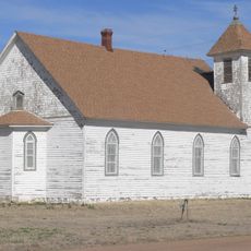
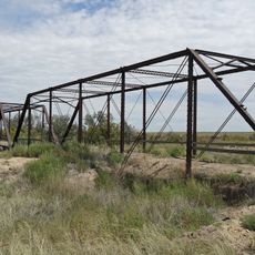
Comanche National Grassland, National grassland in Baca County, Colorado.
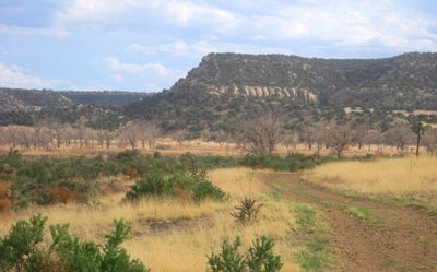
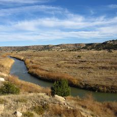
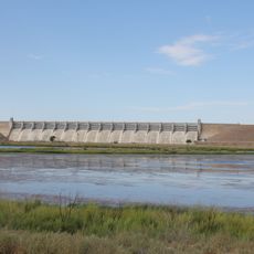
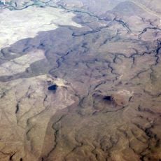
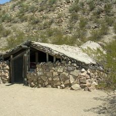
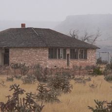
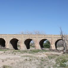
Comanche National Grassland is a vast expanse of prairie and canyon land in southeastern Colorado, featuring open grasslands interspersed with carved canyons and varied terrain. The landscape rises from lower prairie areas to higher elevations, creating different environments as you move through the land.
These lands were brought under federal protection during the 1930s when severe drought and dust storms ravaged the region. The grassland was later formally established to restore and protect the natural landscape for the future.
Petroglyphs left by ancient people scattered across the land tell stories of communities who lived here for thousands of years. Visitors walking through can still find these rock carvings in certain canyons and protected areas.
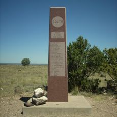
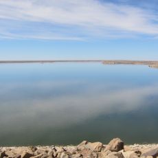
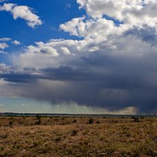
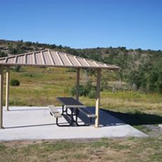
The grassland can be accessed from two main entry points, each offering starting points for hiking, camping, and wildlife watching activities. Preparation is important since the terrain is open and exposed, and weather conditions can shift quickly across the prairie.
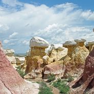
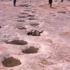
Hidden within Picketwire Canyon are dinosaur footprints preserved in limestone rock layers, representing one of North America's most significant prehistoric track sites. These ancient imprints offer a glimpse into the continent's distant past and remain largely unknown to most visitors.
The community of curious travelers
AroundUs brings together thousands of curated places, local tips, and hidden gems, enriched daily by 60,000 contributors worldwide.