Enable Location

We need your location to show you interesting places around you

Discover nearby places

Find interesting locations and hidden gems around you

Precise directions

Get accurate directions and distances to places

Your location is never shared with other users. It's only used when you tap the location button.

Okmulgee County

Log in to your account

Start exploring — it's free

Trusted by 62,830 travelers worldwide

Continue with Google
Continue with Apple
or

We will send you a code to connect

By continuing, you accept our Terms and Conditions and our Privacy Policy

Check your inbox

We've sent a pincode in your inbox. Please enter the code below.

Okmulgee County

Okmulgee County, County in Oklahoma, United States

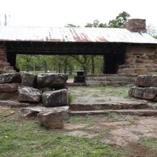
Okmulgee County is a county in Oklahoma with mixed landscapes shaped by rivers and water systems. The terrain includes farmland, forests, and several lakes that define the local environment.

The area became a county in 1907 when Oklahoma joined the Union, adopting a name derived from Creek language. This formation shaped how the region organized itself in its early years.

The Creek Nation established their governmental base in this territory, and their influence remains woven through local communities today. People here maintain connections to these roots through tribal traditions and gatherings.

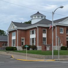
The county seat sits at the center and offers basic services for residents and visitors. When exploring, plan time to visit the different communities and areas spread throughout the region.

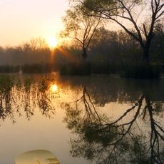
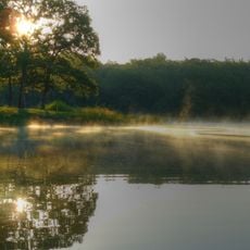
The name comes from a Creek word meaning boiling waters, a reference to the natural springs and rivers that have always shaped this land. This linguistic heritage ties the modern county directly to its ancient water sources.

The community of curious travelers

AroundUs brings together thousands of curated places, local tips, and hidden gems, enriched daily by 60,000 contributors worldwide.

Start exploring
Location
Inception
1907
Capital city
Okmulgee
Shares border with
Tulsa County, Wagoner County, Muskogee County, McIntosh County, Creek County, Okfuskee County
GPS coordinates
35.64000,-95.97000
Latest update
December 14, 2025 20:24
Around this place
Southern Hills Country Club
United States of America

Southern Hills Country Club

48.2 km
Prayer Tower
United States of America

Prayer Tower

45.7 km
Oklahoma Aquarium
United States of America

Oklahoma Aquarium

42.3 km
United States of America

Glenn Pool Oil Reserve

36.1 km
Creek National Capitol
United States of America

Creek National Capitol

1.9 km
Five Civilized Tribes Museum
United States of America

Five Civilized Tribes Museum

52.1 km
Lake Eufaula State Park
United States of America

Lake Eufaula State Park

42.1 km
Deep Fork National Wildlife Refuge
United States of America

Deep Fork National Wildlife Refuge

6.3 km
John Frank House
United States of America

John Frank House

40.1 km
Sherwin Miller Museum of Jewish Art
United States of America

Sherwin Miller Museum of Jewish Art

47 km
Eastside Baptist Church
United States of America

Eastside Baptist Church

1.9 km
United States of America

Washington Irving Memorial Park and Arboretum

36.7 km
Okmulgee Park
United States of America

Okmulgee Park

9.2 km
Boley Historic District
United States of America

Boley Historic District

49.1 km
Oklahoma Odd Fellows Home at Checotah
United States of America

Oklahoma Odd Fellows Home at Checotah

44.4 km
Grant Foreman House
United States of America

Grant Foreman House

54.2 km
First Baptist Central Church
United States of America

First Baptist Central Church

1.4 km
St. Anthony's Catholic Church
United States of America

St. Anthony's Catholic Church

2.4 km
St. Thomas Primitive Baptist Church
United States of America

St. Thomas Primitive Baptist Church

49.5 km
Bristow Presbyterian Church
United States of America

Bristow Presbyterian Church

43.8 km
First Presbyterian Church
United States of America

First Presbyterian Church

45.5 km
V. R. Coss House
United States of America

V. R. Coss House

54.4 km
Okmulgee Downtown Historic District
United States of America

Okmulgee Downtown Historic District

1.9 km
First United Methodist Church
United States of America

First United Methodist Church

44.5 km
Teepee Drive-In
United States of America

Teepee Drive-In

42.4 km
Broken Arrow Warren
United States of America

Broken Arrow Warren

41.9 km
Honey Springs Battlefield
United States of America

Honey Springs Battlefield

45.5 km
Nichols Park South Picnic Shelter
United States of America

Nichols Park South Picnic Shelter

26.2 km
Show the full map
Administrative divisions
« Okmulgee County - County in Oklahoma, United States » is provided by Around Us (aroundus.com). Images and texts are derived from Wikimedia project under a Creative Commons license. You are allowed to copy, distribute, and modify copies of this page, under the conditions set by the license, as long as this note is clearly visible.

Discover hidden gems everywhere you go!

From secret cafés to breathtaking viewpoints, skip the crowded tourist spots and find places that match your style. Our app makes it easy with voice search, smart filtering, route optimization, and insider tips from travelers worldwide. Download now for the complete mobile experience.

Around Us App Screenshot

A unique approach to discovering new places

Le Figaro

All the places worth exploring

France Info

A tailor-made excursion in just a few clicks

20 Minutes

Around Us
Travel Guide & Maps
Download

Send to your phone

QR Code
1

Open the camera app on your mobile.

2

Point at the QR code with your camera. A notification will appear.

3

Tap the notification to open the link.