Enable Location

We need your location to show you interesting places around you

Discover nearby places

Find interesting locations and hidden gems around you

Precise directions

Get accurate directions and distances to places

Your location is never shared with other users. It's only used when you tap the location button.

Marchfeld

Log in to your account

Save your favorite places
Create custom travel routes
Rate and review places
Access the full interactive map
Continue with Google
Continue with Apple
Continue with email
By continuing, you accept our Terms and Conditions and our Privacy Policy
Create an account

Marchfeld

Add to collection
Map
Suggest a change
Share

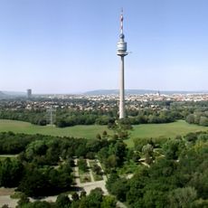
Marchfeld, Lowland between Vienna and Bratislava, Austria.

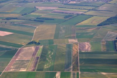
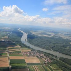
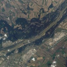
The Marchfeld is a flat region that stretches roughly 900 square kilometers between Lower Austria, Southern Moravia, and Western Slovakia. The plain is crossed by the Morava River and features fertile soil used for agricultural purposes.

In 1278, a major battle took place on this plain where King Ottokar II of Bohemia died and Rudolf I of Habsburg secured his dominance over Austria. This event marked a turning point in the power struggles between the region's principalities.

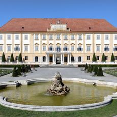
The region carries different names across languages, reflecting its position at the crossroads of Germanic, Slavic, and Hungarian cultural spaces. Visitors can observe this cultural mix in the village names and local traditions throughout the area.

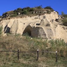
The area is primarily agricultural with sparse settlements, allowing for long views across fields and small villages. Several routes offer ways to explore the plain, from roads along the Morava to walking paths between the fields.

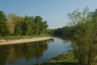
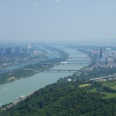
The Morava River forms a natural border between Austria and Slovakia as it crosses the plain before joining the Danube downstream. This meeting of two major rivers makes the region a significant point where national boundaries intersect.

Location: Obersiebenbrunn

Address: Im Schloß 1, 2293 Marchegg, Austria

Phone: +43228527099

Website: https://regionmarchfeld.at

GPS coordinates: 48.25000,16.66667

Latest update: January 27, 2026 14:08

Photos
What to do in Vienna: cultural visits, vineyards, and historic gardens

This collection guides you through about thirty places around Vienna, between the old town and the forests surrounding the city. You will see the Habsburg palaces, the wooded hills of the Vienna Woods, the banks of the Danube, and small thermal towns like Baden or Mödling. The villages of Grinzing...

Reviews

Visited this place? Tap the stars to rate it and share your experience / photos with the community! Try now! You can cancel it anytime.

« Marchfeld - Lowland between Vienna and Bratislava, Austria » is provided by Around Us (aroundus.com). Images and texts are derived from Wikimedia project under a Creative Commons license. You are allowed to copy, distribute, and modify copies of this page, under the conditions set by the license, as long as this note is clearly visible.

Discover hidden gems everywhere you go!

From secret cafés to breathtaking viewpoints, skip the crowded tourist spots and find places that match your style. Our app makes it easy with voice search, smart filtering, route optimization, and insider tips from travelers worldwide. Download now for the complete mobile experience.

Around Us App Screenshot

A unique approach to discovering new places

Le Figaro

All the places worth exploring

France Info

A tailor-made excursion in just a few clicks

20 Minutes