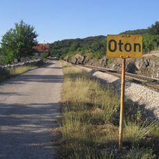
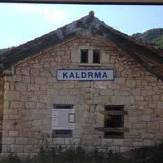
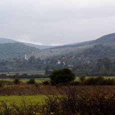
Drvar, town in Bosnia and Herzegovina
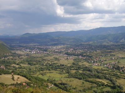
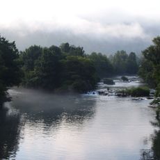
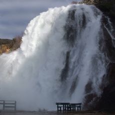
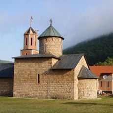
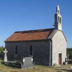
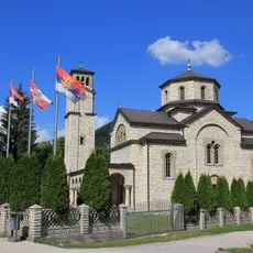
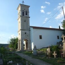
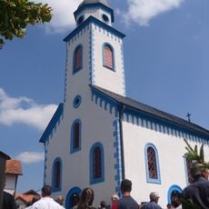
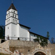
Drvar is a small town in northwest Bosnia and Herzegovina situated along the Una river. It has narrow streets, simple houses, and is surrounded by green hills and deep forests that define its landscape.
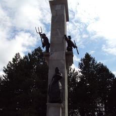
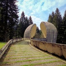
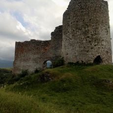
The town became known during World War II, particularly in 1944 when German forces attempted to capture partisan leader Tito during Operation Rosselsprung. After the war, it was quickly rebuilt and became a symbol of reconstruction and national unity.
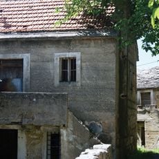
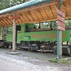
The name comes from the timber industry that shaped life here for generations. Walking through the town, you notice old wooden houses and simple structures that reflect how deeply this work was woven into daily life.
The town is small and easy to explore on foot, with most places located nearby. Simple guesthouses and small restaurants serve traditional dishes like grilled meat and fresh river fish.
A young woman named Milka Bosnic showed extraordinary courage in 1944 by pulling a blanket off a captured tank to help resistance fighters. Her story is still told by older residents today and reflects the spirit of that era.
The community of curious travelers
AroundUs brings together thousands of curated places, local tips, and hidden gems, enriched daily by 60,000 contributors worldwide.