Enable Location

We need your location to show you interesting places around you

Discover nearby places

Find interesting locations and hidden gems around you

Precise directions

Get accurate directions and distances to places

Your location is never shared with other users. It's only used when you tap the location button.

Narayanganj District

Log in to your account

Start exploring — it's free

Trusted by 62,568 travelers worldwide

Continue with Google
Continue with Apple
or

We will send you a code to connect

By continuing, you accept our Terms and Conditions and our Privacy Policy

Check your inbox

We've sent a pincode in your inbox. Please enter the code below.

Narayanganj District, Administrative district in Dhaka Division, Bangladesh

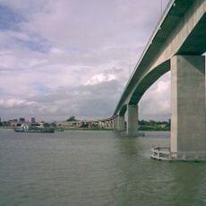
Narayanganj District sits near Dhaka and stretches along two river systems that flow through the landscape, giving the area its natural boundaries. The region divides into five administrative subdivisions that together form this part of Bangladesh.

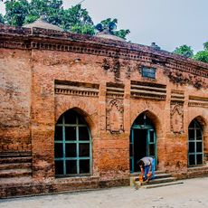
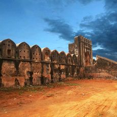
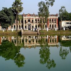
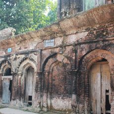
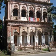
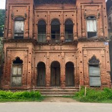
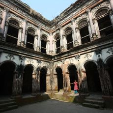
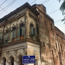
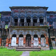
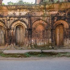
The region emerged as a major trade center during British colonial times and became known for its production and commercial activity. That era shaped how the area developed economically in the years that followed.

Local residents maintain traditional performance arts such as Jarigan and Palagan that appear at community festivals throughout the year. These art forms remain visible in daily celebrations and reflect the creative traditions valued by people in the region.

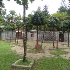
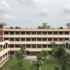
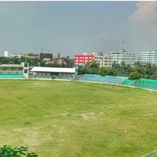
Visitors encounter a wide network of schools, colleges, and technical institutions spread across different parts of the region. The area is straightforward to navigate since it divides clearly into five administrative sections.

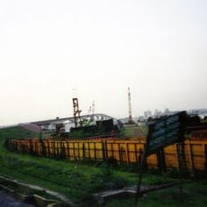
The area was once known as a major jute production center, with numerous factories operating along the riverbanks. This industry was so important that people compared the region to a Scottish city famous for textiles.

The community of curious travelers

AroundUs brings together thousands of curated places, local tips, and hidden gems, enriched daily by 60,000 contributors worldwide.

Start exploring
Location
Capital city
Narayanganj
Shares border with
Dhaka District, Gazipur District, Narsingdi District, Brahmanbaria District, Cumilla District, Munshiganj District
GPS coordinates
23.60000,90.50000
Latest update
December 20, 2025 01:02
« Narayanganj District - Administrative district in Dhaka Division, Bangladesh » is provided by Around Us (aroundus.com). Images and texts are derived from Wikimedia project under a Creative Commons license. You are allowed to copy, distribute, and modify copies of this page, under the conditions set by the license, as long as this note is clearly visible.

Discover hidden gems everywhere you go!

From secret cafés to breathtaking viewpoints, skip the crowded tourist spots and find places that match your style. Our app makes it easy with voice search, smart filtering, route optimization, and insider tips from travelers worldwide. Download now for the complete mobile experience.

Around Us App Screenshot

A unique approach to discovering new places

Le Figaro

All the places worth exploring

France Info

A tailor-made excursion in just a few clicks

20 Minutes

Around Us
Travel Guide & Maps
Download

Send to your phone

QR Code
1

Open the camera app on your mobile.

2

Point at the QR code with your camera. A notification will appear.

3

Tap the notification to open the link.