Les Moëres, Agricultural polder across French-Belgian border in Westhoek region, Northern Europe
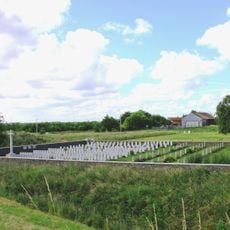
Les Moëres is a polder extending across the French-Belgian border with channels and pumping stations that maintain water levels around 2.5 meters below sea level. The land on both sides is managed through separate administrative systems, with the French portion in Nord department and the Belgian side in Veurne municipality.
In 1617, Wenceslas Cobergher began draining these marshlands under the direction of Archduke Albert VII of Austria and his wife Isabella. These early drainage efforts created the foundation for agricultural use that continues in the region today.
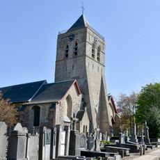
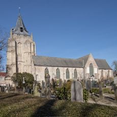
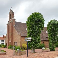
The area displays traditional houses from the 1800s on both sides of the border, reflecting how people built their homes in this flat landscape. Walking through the villages, you see how the local building style shaped the character of communities across the border.
The area is flat and easily accessible, though it was artificially created and requires active water management. Visitors should know that many routes pass through or near pumping stations and channels that are central to how the region functions.
The area is among the lowest points in the region, sitting about 4 meters below sea level, which demonstrates why constant water management is essential. This extreme drainage project shows how people engineered land out of the water through persistent infrastructure.
The community of curious travelers
AroundUs brings together thousands of curated places, local tips, and hidden gems, enriched daily by 60,000 contributors worldwide.