
Cachoeira Mautani, Wasserfall in Brasilien
Location: Roraima
Elevation above the sea: 328 m
GPS coordinates: 3.60000,-63.16667
Latest update: April 27, 2025 01:43
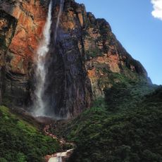
Angel Falls
272.8 km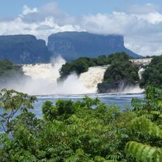
Canaima National Park
295.8 km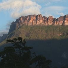
Auyantepui
265.3 km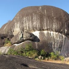
Pedra Pintada
254.2 km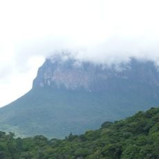
Jaua-Sarisariñama National Park
168 km
Parima-Tapirapecó National Park
191.9 km
Jasper Creek
272.8 km
Serra do Tepequém
158 km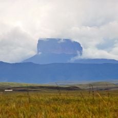
Ptari-tepui
284.3 km
Duida-Marahuaca National Park
250.8 km
Aponwao Falls
287.6 km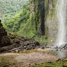
Cueva Charles Brewer - Carías
220.9 km
Salto Kamá
295.9 km
Cerro Duida
278.5 km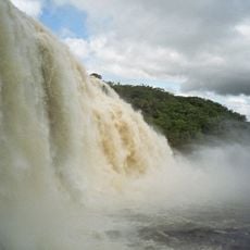
Sapo Falls
297.8 km
Serra do Aracá State Park
227.6 km
Aprada-tepui
216.8 km
Estación Terrena de Luepa
293 km
St. Helen's Cathedral
253.5 km
Pacheco Waterfall
288.5 km
Yuruaní Falls
283.5 km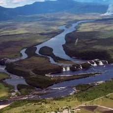
Anatoly Island
297.5 km
Capilla de Santa Teresita
271.1 km
Parú-Euaja Massif Natural Monument
280.3 km
União Operária Beneficente
290.7 km
Sierra Marutani Natural Monument
28.1 km
El Caura Forest Reserve
228.9 km
Cathedral Cristo Redentor in Boa Vista
290.4 kmReviews
Visited this place? Tap the stars to rate it and share your experience / photos with the community! Try now! You can cancel it anytime.
Discover hidden gems everywhere you go!
From secret cafés to breathtaking viewpoints, skip the crowded tourist spots and find places that match your style. Our app makes it easy with voice search, smart filtering, route optimization, and insider tips from travelers worldwide. Download now for the complete mobile experience.

A unique approach to discovering new places❞
— Le Figaro
All the places worth exploring❞
— France Info
A tailor-made excursion in just a few clicks❞
— 20 Minutes