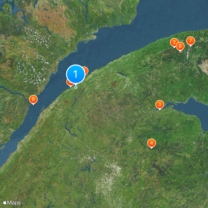
Bas-Saint-Laurent, Administrative region in eastern Quebec, Canada
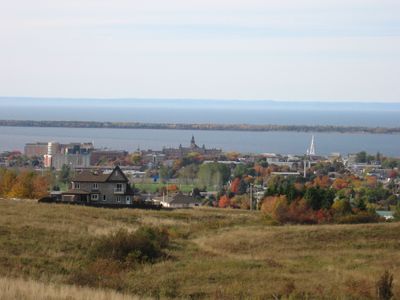
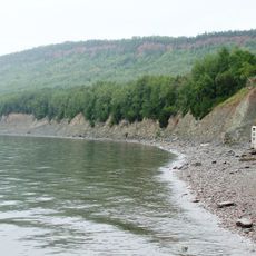
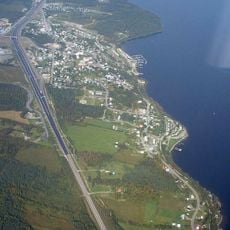
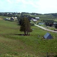
Bas-Saint-Laurent is an administrative region in eastern Quebec that stretches along the southern shore of the Saint Lawrence River. The territory includes coastal communities, river valleys, and elevated terrain spread across a broad landscape.
The region began with French settlements in the late 1600s and became an official administrative unit in 1987. This reorganization established its current place within Quebec's governmental structure.
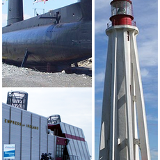
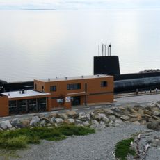
The area shows strong ties to maritime life through local celebrations and arts that people practice today. You can see how the river and coast have shaped the way inhabitants live and work.
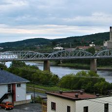
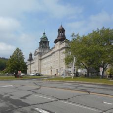
Rimouski serves as the main administrative center with schools, hospitals, and shopping areas where you can find essential services. The region offers different transport options and lodging choices suited to various visitor needs.
The area grows marine biotechnology businesses alongside forestry work passed down through generations. This blend shows how older and newer economic activities exist side by side.
Location: Quebec
Inception: December 22, 1987
Capital city: Rimouski
Elevation above the sea: 1,150 m
Shares border with: Gaspésie–Îles-de-la-Madeleine, Chaudière-Appalaches, New Brunswick, Maine, St. Lawrence River
Website: http://bas-saint-laurent.org
GPS coordinates: 48.33333,-68.66667
Latest update: December 19, 2025 23:38
International Appalachian Trail
184.8 km
Sugarloaf Mountain
152 km
Mount Carleton
170.9 km
Bic National Park
8.8 km
HMCS Onondaga
25.2 km
Monts Notre-Dame
212.4 km
Mount Albert
192 km
Saguenay–St. Lawrence Marine Park
79.4 km
Cabano
74.1 km
Miguasha National Park
173.3 km
Gaspésie National Park
191.1 km
Mount Carleton Provincial Park
172.3 km
Jardins de Métis
51.8 km
Notre-Dame-du-Lac
82.2 km
Site historique maritime de la Pointe-au-Père
25.2 km
Pointe-au-Père Lighthouse
25.2 km
Fort Kent
120.5 km
Prince Shoal Light
74.6 km
Île aux Basques
48.1 km
Les Boules
65.2 km
J. C. Van Horne Bridge
151.7 km
Centre Premier Tech
85.8 km
Edmundston–Madawaska Bridge
111.2 km
Cégep de La Pocatière
148.6 km
Big Bald Mountain
210.3 km
Project Onondaga
25.2 km
New Brunswick Botanical Garden
101.1 km
Sainte-Croix-de-Tadoussac Mission Church
80.6 kmVisited this place? Tap the stars to rate it and share your experience / photos with the community! Try now! You can cancel it anytime.
Discover hidden gems everywhere you go!
From secret cafés to breathtaking viewpoints, skip the crowded tourist spots and find places that match your style. Our app makes it easy with voice search, smart filtering, route optimization, and insider tips from travelers worldwide. Download now for the complete mobile experience.
A unique approach to discovering new places❞
— Le Figaro
All the places worth exploring❞
— France Info
A tailor-made excursion in just a few clicks❞
— 20 Minutes