Enable Location

We need your location to show you interesting places around you

Discover nearby places

Find interesting locations and hidden gems around you

Precise directions

Get accurate directions and distances to places

Your location is never shared with other users. It's only used when you tap the location button.

Glarus

Log in to your account

Start exploring — it's free

Trusted by 61,557 travelers worldwide

Continue with Google
Continue with Apple
or

We will send you a code to connect

By continuing, you accept our Terms and Conditions and our Privacy Policy

Check your inbox

We've sent a pincode in your inbox. Please enter the code below.

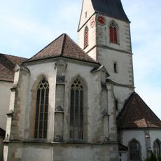
Glarus, Administrative canton in eastern Switzerland

Description

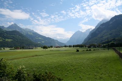
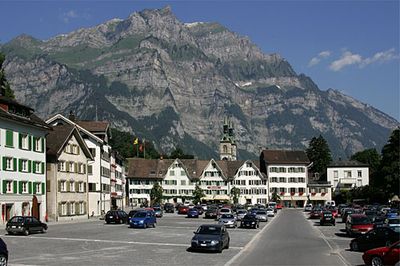
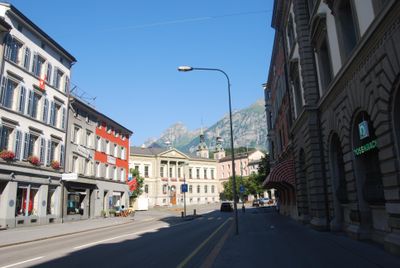
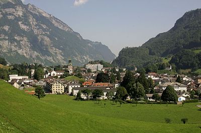
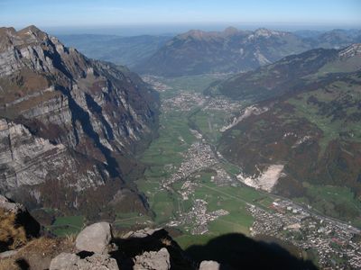
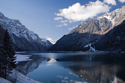
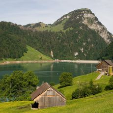
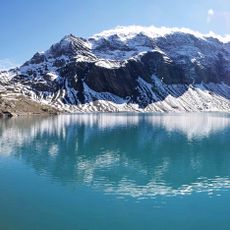
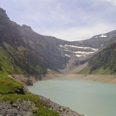
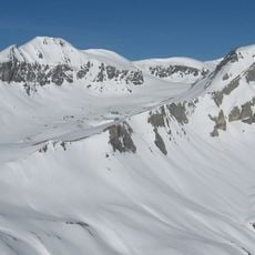
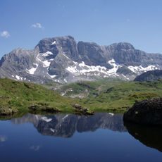
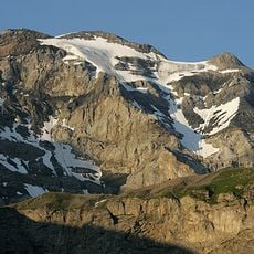
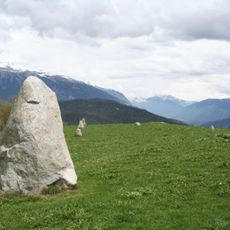
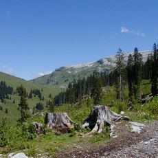
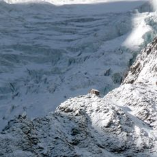
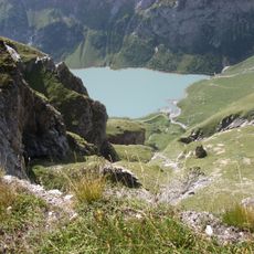
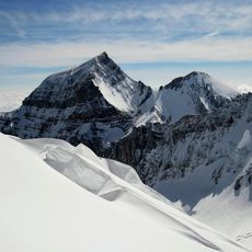
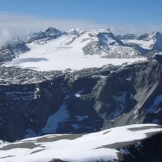
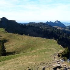
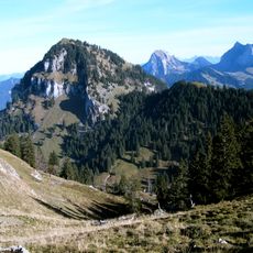
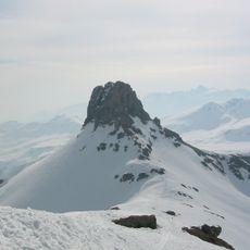
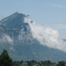
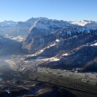
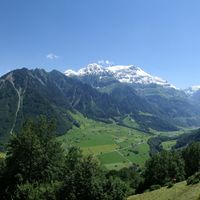
Glarus is a territory in eastern Switzerland that follows the course of the Linth valley and rises into surrounding mountains. The peaks climb to 3614 meters at Tödi in the northern sector, while lower valleys and pastures trace the southern slopes.

History

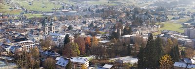
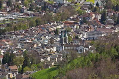
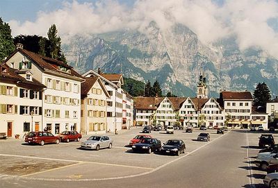
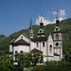
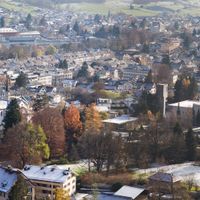
The area joined the Old Swiss Confederacy in 1352, counting among the eight founding members during the medieval period. After a fire in 1861, the main town was rebuilt with a planned street grid.

Culture

The capital and surrounding territory still use an open voting process in which residents gather outdoors to decide on cantonal questions. This public assembly draws participants who make decisions together, practicing a form of direct self-government visible to anyone attending.

Practical

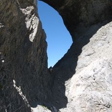
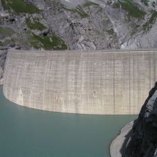
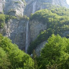
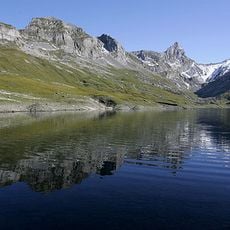
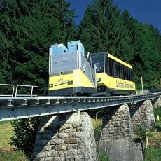
Housing and land cost less here than in neighboring areas, while connections to Zurich remain within an hour's reach. Trails lead from valley floors to higher ridges and suit different levels of difficulty.

Did you know?

After the great fire of 1861, the capital was rebuilt with a fully gridded street network that still shapes its entire layout today. The even blocks let visitors find their way easily through the reconstructed town.

Inception
January 1, 2011
Capital city
Glarus
Elevation above the sea
474 m
Reference
GL
Part of
Eastern Switzerland, Southeastern Switzerland
Shares border with
Innerthal, Glarus Süd, Muotathal, Glarus Nord
Phone
GPS coordinates
47.03306,9.06639
Latest update
December 13, 2025 18:10

AroundUs brings together thousands of curated places, local tips, and hidden gems, enriched daily by 60,000 contributors worldwide. Discover all places nearby (Canton of Glarus).

Administrative divisions
« Glarus - Administrative canton in eastern Switzerland » is provided by Around Us (aroundus.com). Images and texts are derived from Wikimedia project under a Creative Commons license. You are allowed to copy, distribute, and modify copies of this page, under the conditions set by the license, as long as this note is clearly visible.

Discover hidden gems everywhere you go!

From secret cafés to breathtaking viewpoints, skip the crowded tourist spots and find places that match your style. Our app makes it easy with voice search, smart filtering, route optimization, and insider tips from travelers worldwide. Download now for the complete mobile experience.

Around Us App Screenshot

A unique approach to discovering new places

Le Figaro

All the places worth exploring

France Info

A tailor-made excursion in just a few clicks

20 Minutes

Around Us
Travel Guide & Maps
Download

Send to your phone

QR Code
1

Open the camera app on your mobile.

2

Point at the QR code with your camera. A notification will appear.

3

Tap the notification to open the link.