Dix-Huit Montagnes, Administrative region in western Ivory Coast.
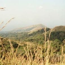
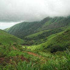
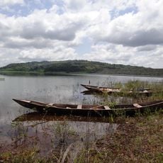
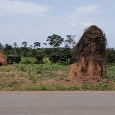
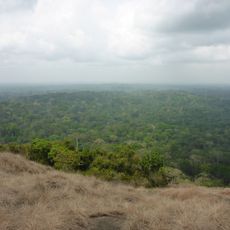
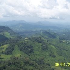
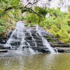
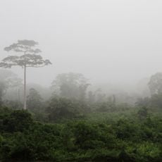
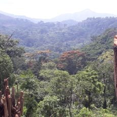
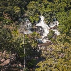
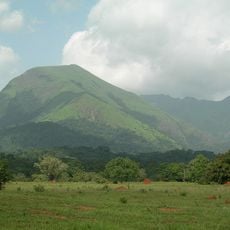
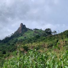
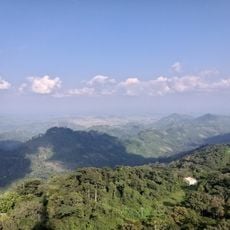
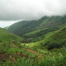
Dix-Huit Montagnes is a region in western Ivory Coast characterized by mountains, forests, and extensive agricultural lands that shape its landscape. The terrain features hills and valleys with rivers running through it, supporting farming communities and natural ecosystems.
This area was established in 1997 during Ivory Coast's administrative restructuring and experienced several organizational changes over the following decades. In 2021, it was incorporated into the restored Montagnes District, reshaping its governance structure.
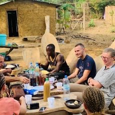
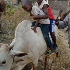
Different ethnic communities here practice traditional farming methods for cocoa and coffee that shape daily life in villages and rural areas. These techniques, passed down through generations, define the character of the landscape and how people relate to their land.
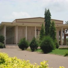
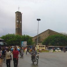
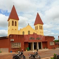
The city of Man serves as the main administrative hub and is the natural starting point for exploring the region. Roads connect this area to other parts of Ivory Coast, though travel conditions outside main routes may require some planning.
The region comprises three distinct territories, each managing its own local affairs and development priorities within their specific departments. This division allows visitors to encounter different administrative and cultural areas within a single region.
Location: Ivory Coast
Inception: 1997
Capital city: Man
Elevation above the sea: 240 m
Shares border with: Bafing Region, Worodougou, Haut-Sassandra, Moyen-Cavally
GPS coordinates: 7.33333,-7.66667
Latest update: December 12, 2025 09:05
Basilica of Our Lady of Peace of Yamoussoukro
268.2 km
Mount Richard-Molard
87.9 km
Sapo National Park
228.7 km
Mount Nimba Strict Nature Reserve
85.4 km
Stade de la Paix
292 km
Mount Wuteve
265.2 km
Charles Konan Banny Stadium
273.2 km
Lake Kossou
230.2 km
Marahoué National Park
183.2 km
Mont Niénokoué
218.6 km
Mont Tonkpi
13.8 km
Yamoussoukro Cathedral
269.8 km
Centennial Pavilion
115.4 km
St. Teresa of Infant Jesus Cathedral in Bouaké
293.8 km
Les Cascades Naturelles de Man
12.5 km
OAU Memorial Place
115.4 km
Taï National Park
176.3 km
Cathedral of Christ the King of Dalo
143.6 km
Singes sacrés de la Foret Sacrée de Gbepleu
13.8 km
Lac aux Caïmans
269.7 km
Kpatawee Waterfall
219.3 km
Mount Richard-Molard
88.6 km
La Dent de Man
19.2 km
Mont Tonkoui
13.8 km
Reserva Natural Integral del Monte Nimba
89.6 km
Groupe scolaire Ganleu
44.3 km
Campement Dent de Man
17.6 km
Reserve de la biosphere de ziama
133.7 kmVisited this place? Tap the stars to rate it and share your experience / photos with the community! Try now! You can cancel it anytime.
Discover hidden gems everywhere you go!
From secret cafés to breathtaking viewpoints, skip the crowded tourist spots and find places that match your style. Our app makes it easy with voice search, smart filtering, route optimization, and insider tips from travelers worldwide. Download now for the complete mobile experience.
A unique approach to discovering new places❞
— Le Figaro
All the places worth exploring❞
— France Info
A tailor-made excursion in just a few clicks❞
— 20 Minutes