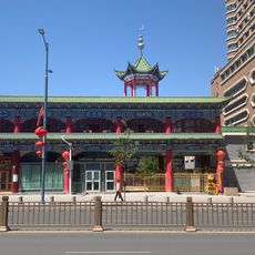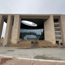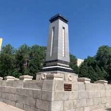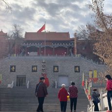
Dzungaria, Geographic basin in northern Xinjiang, China
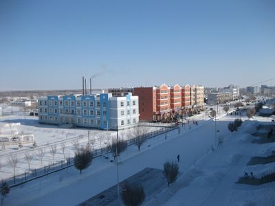
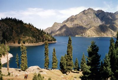
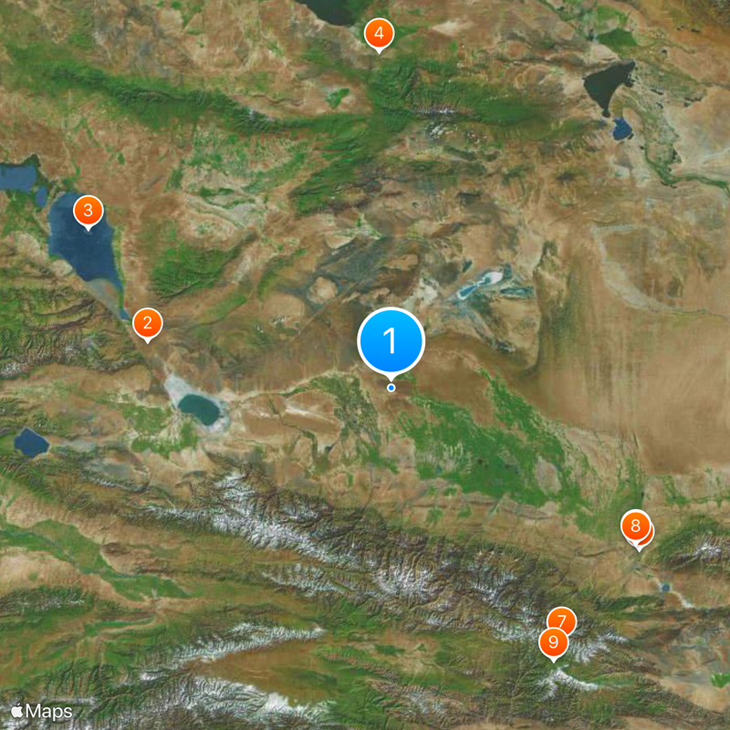
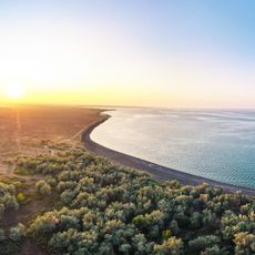
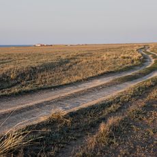
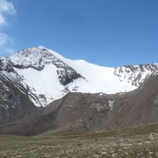
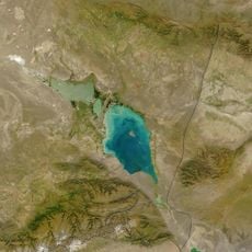
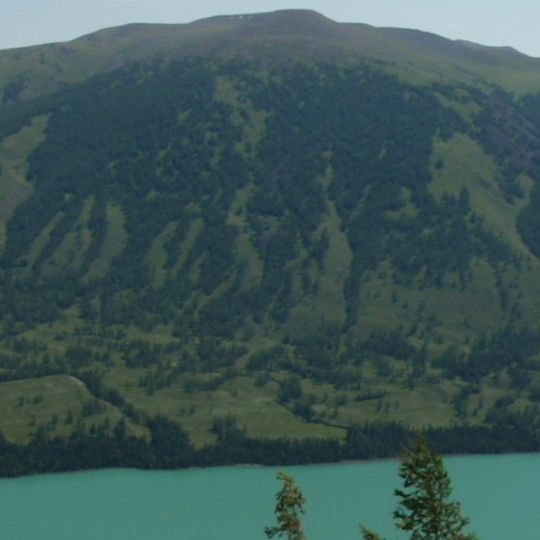
This region is a broad basin in northern Xinjiang between the Tian Shan in the south and the Altai in the north. The territory stretches over flat steppes, dry plains, and some valleys watered by snowmelt from the surrounding ranges.
Western Mongol tribes formed a confederation here in the 17th century that became a major political player in Central Asia for a time. By the mid-18th century that rule ended when Chinese armies took control of the territory.
The name comes from the western Mongols who formed an independent realm here before the area came under Chinese administration. Today Kazakhs and Mongols live alongside other communities in the grazing lands, maintaining traditional ways of life adapted to the open steppe.
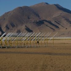
The landscape shifts between dry steppe, flat desert, and irrigated valleys where crops such as wheat and barley are grown. Travelers can expect wide horizons and a continental climate with cold winters and warm summers.
The Dzungarian Gate at the eastern end of the Alatau served for centuries as a key passage for migrating peoples and trade routes between the steppes of Central Asia. This natural pass allowed movements that shaped much of the history of the region.
The community of curious travelers
AroundUs brings together thousands of curated places, local tips, and hidden gems, enriched daily by 92,702 contributors worldwide.