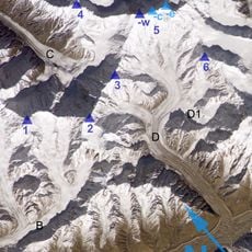
China–Pakistan border, International border in Karakoram Mountains, China and Pakistan.
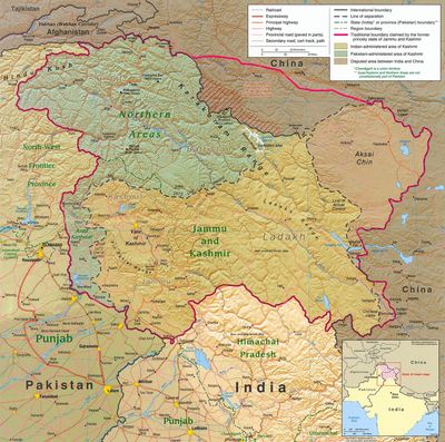
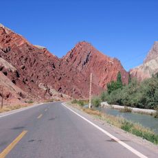
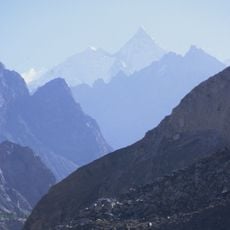
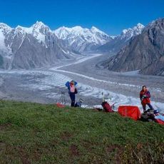
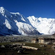
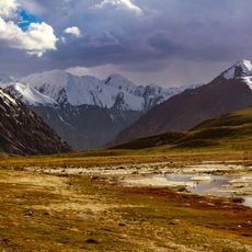
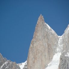
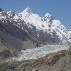
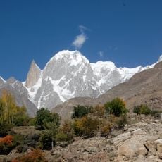
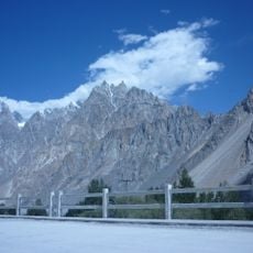
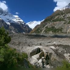
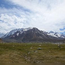
The China-Pakistan border runs roughly 600 kilometers through the Karakoram Mountains, following high mountain passes and valleys. The terrain consists of steep peaks and deep gorges that create a natural division between the two countries.
The border was formally established in 1963 through a bilateral agreement signed by both countries. This treaty resolved territorial claims and created an official demarcation across the high mountain region.
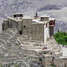
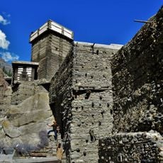
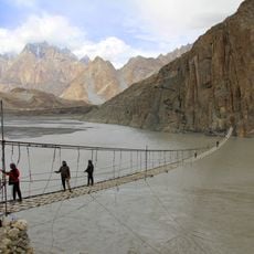
Communities along the border have maintained traditional trade relationships for generations, connecting markets between Xinjiang and Gilgit-Baltistan. These exchange patterns shape daily life for residents on both sides of the boundary.
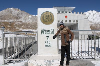
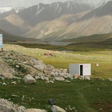
Khunjerab Pass is the sole authorized crossing point available to travelers. The Karakoram Highway system provides the main transportation route through the region.
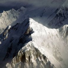
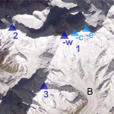
K2 rises within this border region and is one of the world's highest and most dangerous mountains. Climbers from both nations attempt its summit despite the extreme conditions and technical difficulty.
The community of curious travelers
AroundUs brings together thousands of curated places, local tips, and hidden gems, enriched daily by 60,000 contributors worldwide.