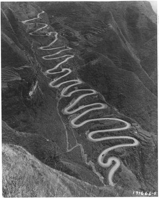
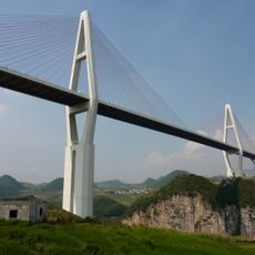
24-zig, Mountain thoroughfare in Qinglong County, China
The 24-zig is a mountain road in Qinglong County, China, made up of twenty-four hairpin turns laid out along a steep hillside. The road crosses a mountain pass and links areas that were otherwise separated by difficult terrain.
The road was built in the 1930s and became a key supply route during World War II, connecting two major cities through the mountains. It carried military vehicles daily and was one of the few passages available in that part of the country.
The road is well known among motorcycle riders and driving enthusiasts who seek out its tight curves as a challenge. When viewed from above, the zigzag pattern of the turns is easy to read and gives the road its name.
The road is easiest to travel in dry weather, as rain or snow makes the hairpin turns slippery and harder to handle. Driving slowly allows you to stay safe and take in the view across the valley below.
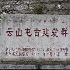
The road holds the status of a Major Historical and Cultural Site protected at the national level, which is rare for an infrastructure route rather than a building or monument. This recognition reflects the role it played in the country's history during wartime.
The community of curious travelers
AroundUs brings together thousands of curated places, local tips, and hidden gems, enriched daily by 60,000 contributors worldwide.