Parma, Tibet, township in Tibet, China
Location: Zhongba County
Elevation above the sea: 4,700 m
GPS coordinates: 31.30528,84.12556
Latest update: March 25, 2025 11:52
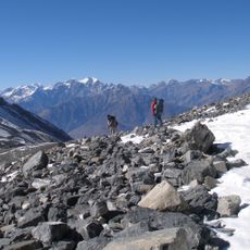
Annapurna Circuit
280.1 km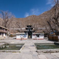
Muktinath Temple
278.1 km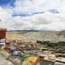
Mustang
248.2 km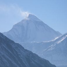
Dhaulagiri
296.7 km
Bala Tripura Sundari Temple
284.8 km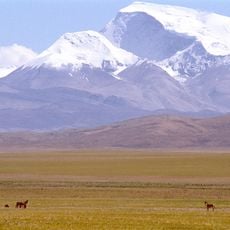
Gurla Mandhata
287 km
Mustang Caves
233.5 km
Annapurna Conservation Area
281.2 km
Sinja Valley
301.7 km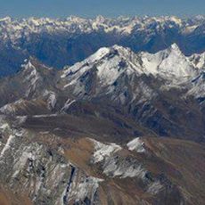
Saipal
297.5 km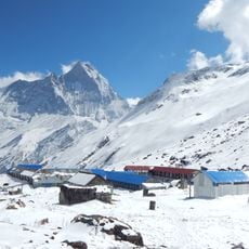
Annapurna I East
301 km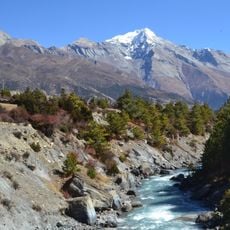
Pisang Peak
295.8 km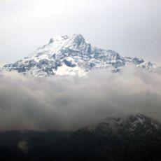
Kanjiroba
258 km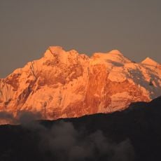
Annapurna I Middle
302.5 km
Lunpo Gangri
170.3 km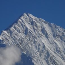
Gangapurna
300.9 km
Chandannath Temple
293.2 km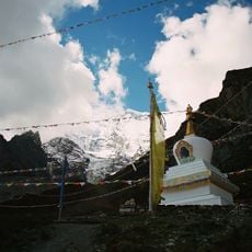
Milarepa Cave, Gandaki
297.2 km
Khatung Kang
282.1 km
Kali Gandaki Gorge
292.9 km
Nilgiri North
293.5 km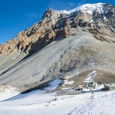
Yakawa Kang
278.5 km
Sita Chuchura
287.6 km
Rara National Park
282.2 km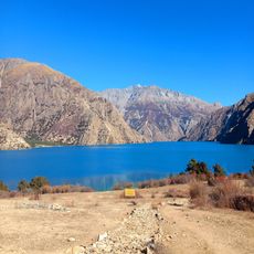
Phoksundo Lake
260.6 km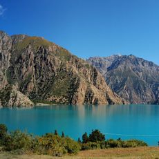
Shey Phoksundo National Park
249.2 km
Tilicho Peak
293.5 km
Dhaulagiri II
291.8 kmReviews
Visited this place? Tap the stars to rate it and share your experience / photos with the community! Try now! You can cancel it anytime.
Discover hidden gems everywhere you go!
From secret cafés to breathtaking viewpoints, skip the crowded tourist spots and find places that match your style. Our app makes it easy with voice search, smart filtering, route optimization, and insider tips from travelers worldwide. Download now for the complete mobile experience.

A unique approach to discovering new places❞
— Le Figaro
All the places worth exploring❞
— France Info
A tailor-made excursion in just a few clicks❞
— 20 Minutes