Project 3261, Geographic reference point in Shaanxi, China
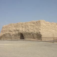
Project 3261 is a surveying reference point in Shaanxi that serves as a national geodetic benchmark for land mapping across China. The site supports mapping work and infrastructure projects throughout the country.
This reference point was established as part of modernizing China's surveying system and marked progress in precise mapping of the country. It enabled authorities to create a unified surveying framework across the entire nation.
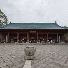
The location serves as a symbol of scientific progress in China while maintaining connection to traditional land measurement practices from ancient Chinese civilization.
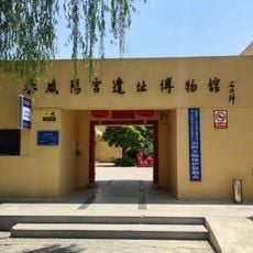
The site is in an accessible area with information panels explaining the practical use of this surveying point. Visitors can view the location during normal daytime hours and learn more about its role in modern surveying work.
The reference point contributes to disaster management systems and provides essential data for calculating distances and positions across the entire Chinese territory.
The community of curious travelers
AroundUs brings together thousands of curated places, local tips, and hidden gems, enriched daily by 60,000 contributors worldwide.