黄思湾街道, Straßenviertel in der Volksrepublik China
Location: Xisaishan District
GPS coordinates: 30.19563,115.12766
Latest update: March 25, 2025 11:53
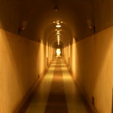
Underground Project 131
74.3 km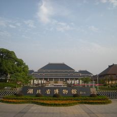
Hubei Provincial Museum
84.4 km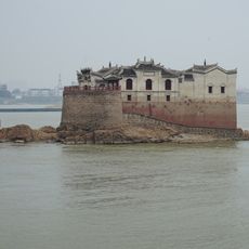
鄂州观音阁
33.5 km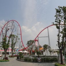
Happy Valley Wuhan
83.7 km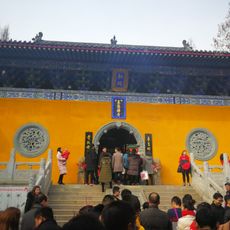
Wuzu Temple
77.8 km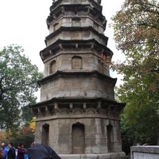
Wuying Pagoda
85.5 km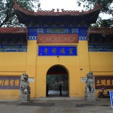
Baotong Temple
84.3 km
Tonglüshan Mine Site
22.1 km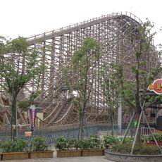
Dauling Dragon
83.6 km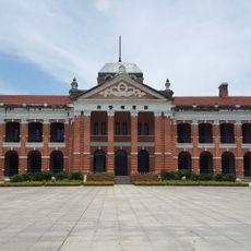
Wuchang Uprising Memorial
87.7 km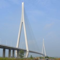
Edong Yangtze River Bridge
8.5 km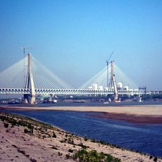
Tianxingzhou Yangtze River Bridge
86.3 km
Dongpo Chibi
38.7 km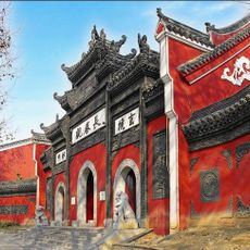
Changchun Temple
87.1 km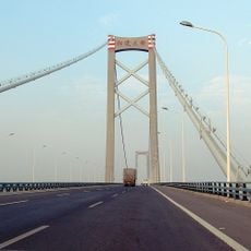
Wuhan Yangluo Yangtze River Bridge
73.7 km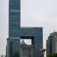
Wuhan Poly Plaza
86 km
黄冈长江大桥
43.9 km
Fushui Reservoir
60.9 km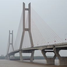
Ehuang Yangtze River Bridge
31.3 km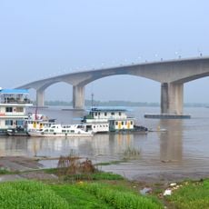
Huangshi Yangtze River Bridge
8.2 km
Site of the Daye Soldiers Revolt
19.2 km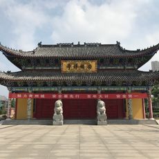
Anguo Temple
36.4 km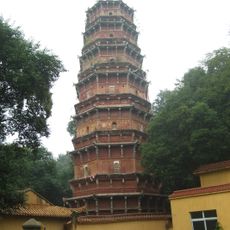
Hongshan Pagoda
84.9 km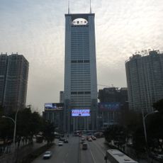
New Times Business Center
85.9 km
Wangying Reservoir
48.9 km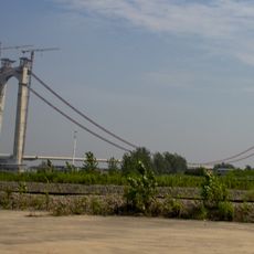
Qipanzhou Yangtze River Highway Bridge
14.3 km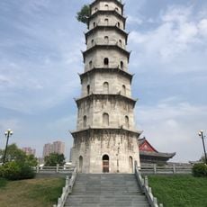
Qingyun Pagoda (Huanggang)
36.7 km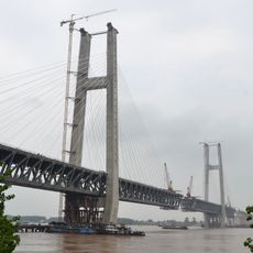
Huanggang Yangtze River Bridge
47 kmReviews
Visited this place? Tap the stars to rate it and share your experience / photos with the community! Try now! You can cancel it anytime.
Discover hidden gems everywhere you go!
From secret cafés to breathtaking viewpoints, skip the crowded tourist spots and find places that match your style. Our app makes it easy with voice search, smart filtering, route optimization, and insider tips from travelers worldwide. Download now for the complete mobile experience.

A unique approach to discovering new places❞
— Le Figaro
All the places worth exploring❞
— France Info
A tailor-made excursion in just a few clicks❞
— 20 Minutes