Kau To Shan, Mountain peak and residential area in Sha Tin District, Hong Kong.
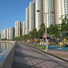
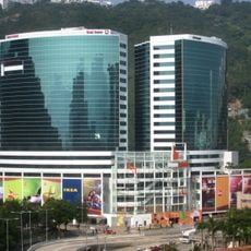
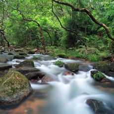
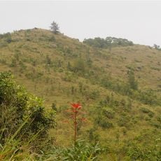
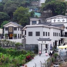
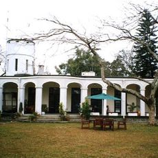
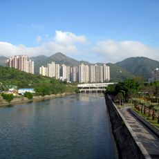
Kau To Shan is a mountain and residential area in Sha Tin District that rises in the eastern region of Hong Kong's New Territories. The place combines steep slopes with natural walking paths and offers a mix of natural and built environments.
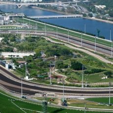
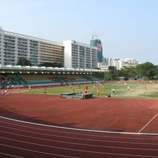
Kau To Shan served as a borrow area for sand used to build the Sha Tin Racecourse in the 1970s. The quarry closed when the racecourse opened in 1978, and the land was handed to the government for low-density housing, with plots auctioned from 1979. The area was then nicknamed "Sha Tin Jardine's Lookout". In the 2000s, the New Kau To Shan section was developed, and its first project, Mount Pavilia, was completed in 2015.
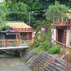
The name Kau To Shan comes from Kau To Village, a Lo surname indigenous village whose ancestor Lo Yat-hing moved south from Xingning, Guangdong, in the Qianlong era and settled here; the site was first called Long Wo, then Kau To, and later changed to the more elegant Kau To. Lo Cheung, husband of Kang Youwei's daughter Kang Tongbi and a professor at Peking University, came from Kau To. Nearby Ma Liu, properly Ma Liu, is a Hakka name meaning a place where horses rested.
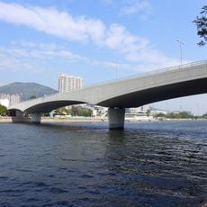
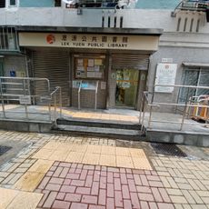
Kau To Shan Road runs north to south through the old Kau To Shan area, while Ma Ling Path and Ma Lok Path cross it east to west. New Territories taxis may not use Kau To Shan Road to reach the area, nor Chun King Road to reach Fo Tan. Lai Ping Road serves the newer Kau To Shan development.
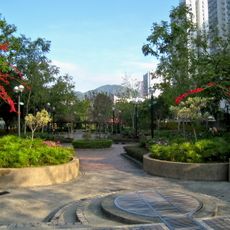
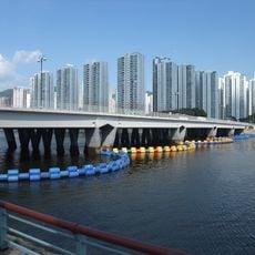
From the height, visitors can see a sharp difference between the densely built city on one side and open green spaces on the other. This contrast shows how Hong Kong has kept development and nature side by side.
The community of curious travelers
AroundUs brings together thousands of curated places, local tips, and hidden gems, enriched daily by 93,086 contributors worldwide.