
黄花滩塔
Location: Longcheng District
GPS coordinates: 41.44472,120.12500
Latest update: April 15, 2025 01:02
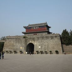
Shanhai Pass
162.8 km
Yixian Formation
93.4 km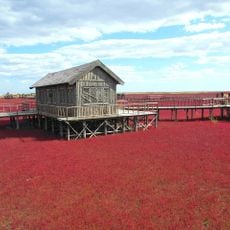
Red Seabeach
154.6 km
Tiaojishan Formation
78.9 km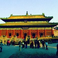
Puning Temple
188.6 km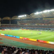
Qinhuangdao Olympic Sports Center Stadium
178 km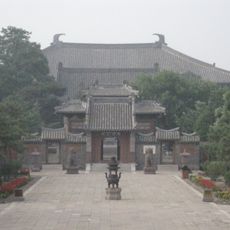
Fengguo Temple
93.8 km
Niuheliang
59.5 km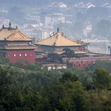
Xumi Fushou Temple
189.6 km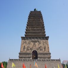
Northern Chaoyang Pagoda
31.4 km
Bijia Mountain
106.8 km
Jiumenkou
151.2 km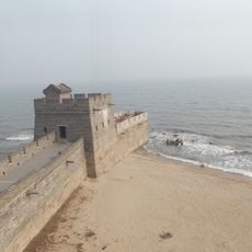
Old Dragon Head
166.9 km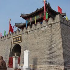
Drum Tower
139.9 km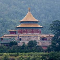
Pule Temple
188.5 km
Puren Temple
188.9 km
Jiangnushi Site
162.3 km
Beizhen Temple
136.9 km
Anyuan Temple
188.4 km
Ka La Qin Palace
142.1 km
Guangji Temple
91.2 km
Wanfotang Grottoes
87.4 km
Pagoda of Chongxing Temple
140.3 km
佑順寺
31.1 km
打虎石水库
125.8 km
Hongluoshan Shuiku
75.5 km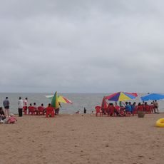
Xingcheng Haibin National Park
105.1 km
Gongshanzui Shuiku
86.2 kmReviews
Visited this place? Tap the stars to rate it and share your experience / photos with the community! Try now! You can cancel it anytime.
Discover hidden gems everywhere you go!
From secret cafés to breathtaking viewpoints, skip the crowded tourist spots and find places that match your style. Our app makes it easy with voice search, smart filtering, route optimization, and insider tips from travelers worldwide. Download now for the complete mobile experience.

A unique approach to discovering new places❞
— Le Figaro
All the places worth exploring❞
— France Info
A tailor-made excursion in just a few clicks❞
— 20 Minutes