
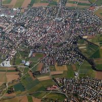
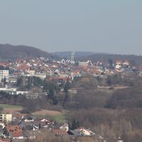
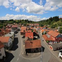
Aschaffenburg district, Administrative district in Lower Franconia, Germany
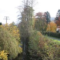
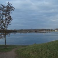
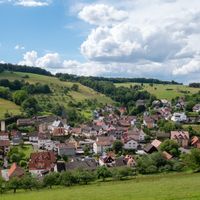
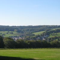
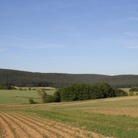
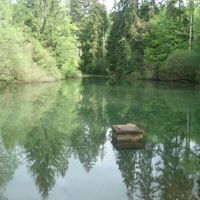
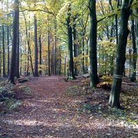
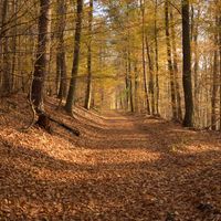
The district encompasses 699 square kilometers of land with numerous municipalities, forests, and the Main River forming its western boundary point.
The district was officially established on July 1, 1862, through the merger of administrative regions during Bavaria's territorial reorganization period.
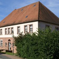
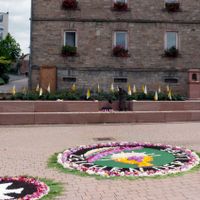
Each municipality within the district maintains its local traditions through regular community events, markets, and regional celebrations throughout the year.
The district administration, located in Aschaffenburg city, coordinates public services and infrastructure development for 32 municipalities and their residents.
From 2013 to 2020, the geographic center of the European Union was located within the boundaries of the Aschaffenburg district.
Location: Lower Franconia
Inception: July 1, 1862
Capital city: Aschaffenburg
Elevation above the sea: 246 m
Shares border with: Main-Spessart, Miltenberg, Aschaffenburg, Offenbach, Darmstadt-Dieburg, Main-Kinzig-Kreis
Website: https://landkreis-aschaffenburg.de
GPS coordinates: 50.08000,9.17000
Latest update: May 27, 2025 08:23

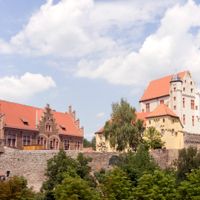
Schloss Johannisburg
11.7 km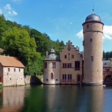
Schloss Mespelbrunn
21.8 km
Hoher Stein
28.1 km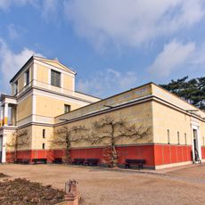
Museum Pompejanum
11.7 km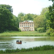
Landschaftspark
14.4 km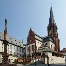
Basilica of SS. Peter and Alexander
12 km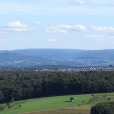
Geiersberg
26.8 km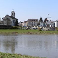
Mainflingen
11.1 km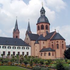
Basilika St. Marcellinus und Petrus
14.1 km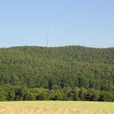
Hahnenkamm
4.3 km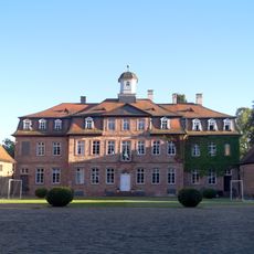
Schloss
11.7 km
Engländer
10.5 km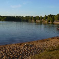
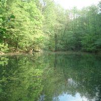
Kahler Seenplatte
10.8 km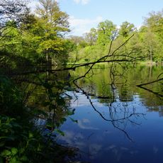
Fasanerie
11 km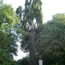
Schöne Eiche
17.5 km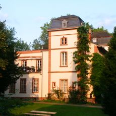
Hof Trages
7.4 km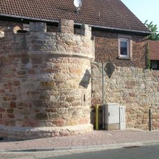
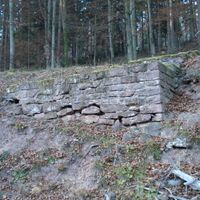
Town walls in Sulzbach am Main
19 km
Rosso Bianco
13.8 km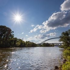
Mainauen bei Sulzbach und Kleinwallstadt
20.6 km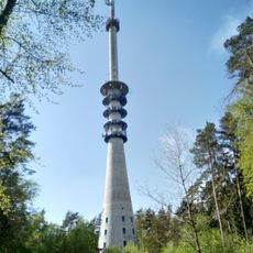
Pfaffenberg transmitter
17.2 km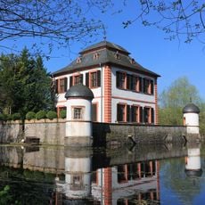
Wasserburg Seligenstadt
13.7 km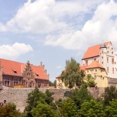
Burg
6.9 km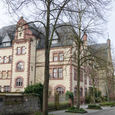
Gymnasium
11.7 km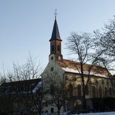
Kloster Schmerlenbach
11.2 km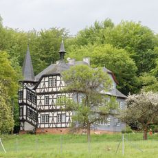
Jagdschloss
26.5 km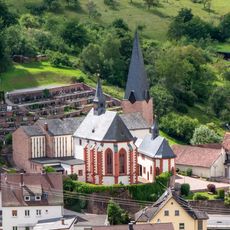
Wallfahrtskirche
18.9 km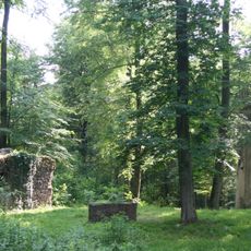
Kloster St. Wolfgang (Hanau)
13.7 km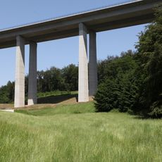
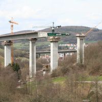
Haseltalbrücke
29.4 kmReviews
Visited this place? Tap the stars to rate it and share your experience / photos with the community! Try now! You can cancel it anytime.
Alzenau
Bessenbach
Blankenbach
Dammbach
Geiselbach
Glattbach
Goldbach
Großostheim
Haibach
Heigenbrücken
Heimbuchenthal
Heinrichsthal
Hösbach

Johannesberg
Kahl am Main

Karlstein am Main
Kleinkahl

Kleinostheim

Krombach
Laufach
Mainaschaff
Mespelbrunn
Mömbris

Rothenbuch
Sailauf

Schöllkrippen

Sommerkahl
Stockstadt am Main
Waldaschaff
Weibersbrunn

Westerngrund
Wiesen
Forst Hain im Spessart
Heinrichsthaler Forst
Huckelheimer Wald

Rohrbrunner Forst
Rothenbucher Forst
Sailaufer Forst
Schöllkrippener Forst
Waldaschaffer Forst
Wiesener Forst
Discover hidden gems everywhere you go!
From secret cafés to breathtaking viewpoints, skip the crowded tourist spots and find places that match your style. Our app makes it easy with voice search, smart filtering, route optimization, and insider tips from travelers worldwide. Download now for the complete mobile experience.

A unique approach to discovering new places❞
— Le Figaro
All the places worth exploring❞
— France Info
A tailor-made excursion in just a few clicks❞
— 20 Minutes