
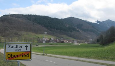
Zastler, quarter of Oberried, Baden-Württemberg, Germany
Location: Oberried
Elevation above the sea: 474 m
GPS coordinates: 47.93335,7.96699
Latest update: March 7, 2025 17:56
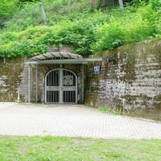
Barbarastollen underground archive
3 km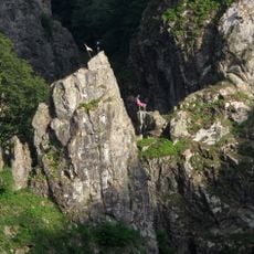
Hirschsprung
4 km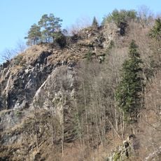
Falkenstein Castle
3.8 km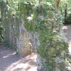
Wiesneck Castle
4.5 km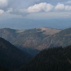
Hinterwaldkopf
4 km
Volante
3 km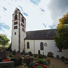
St. Gallus
3.6 km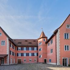
Talvogtei
3.8 km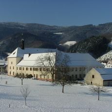
Benediktinerpriorat Oberried
960 m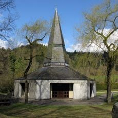
Vater Unser Kapelle
4.7 km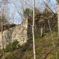
Bubenstein Castle
3.5 km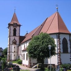
St. Blasius
4.4 km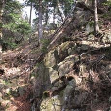
Wilde Schneeburg, Oberried
3.3 km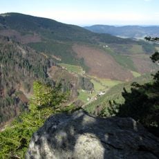
Rappeneck
3.7 km
Kloster Oberried
968 m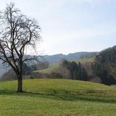
Burg Oberried
869 m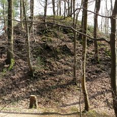
Motte bei Burg am Wald, Dreisamtal-Breisgau
4.7 km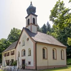
Giersbergkapelle
2.7 km
Freie Schule Dreisamtal
4.4 km
Burg Galgenbühl, Dreisamtal-Breisgau
4.8 km
Burg Zasteler Stein, Oberried
3.4 km
Höfener Hütte
2.7 km
Bannwald Faulbach
4 km
Rappeneck
3.5 km
Rössle
2.9 km
Zartener Becken
4.8 km
Scheibenfelsen
3.2 km
1 Sommerlinde
3.4 kmVisited this place? Tap the stars to rate it and share your experience / photos with the community! Try now! You can cancel it anytime.
Discover hidden gems everywhere you go!
From secret cafés to breathtaking viewpoints, skip the crowded tourist spots and find places that match your style. Our app makes it easy with voice search, smart filtering, route optimization, and insider tips from travelers worldwide. Download now for the complete mobile experience.

A unique approach to discovering new places❞
— Le Figaro
All the places worth exploring❞
— France Info
A tailor-made excursion in just a few clicks❞
— 20 Minutes