Enable Location

We need your location to show you interesting places around you

Discover nearby places

Find interesting locations and hidden gems around you

Precise directions

Get accurate directions and distances to places

Your location is never shared with other users. It's only used when you tap the location button.

Log in to your account

Start exploring — it's free

Trusted by 61,510 travelers worldwide

Continue with Google
Continue with Apple
or

We will send you a code to connect

By continuing, you accept our Terms and Conditions and our Privacy Policy

Check your inbox

We've sent a pincode in your inbox. Please enter the code below.

Ramersdorf-Perlach

Ramersdorf-Perlach, Administrative district in southeast Munich, Germany.

Description

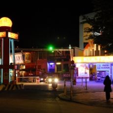
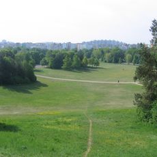
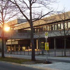
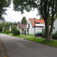
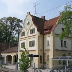
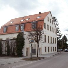
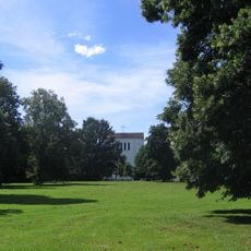
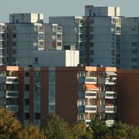
Ramersdorf-Perlach is an administrative district in southeast Munich that brings together five distinct neighborhood areas. The district combines older residential sections with newer developments, featuring schools, shopping centers, parks, and public spaces where daily life unfolds.

History

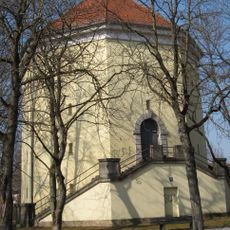
The settlement traces its roots to Rumoltesdorf, documented in early medieval records from the 11th century. Over time the area grew and eventually became part of Munich's administrative structure as a distinct district.

Culture

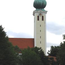
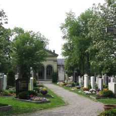
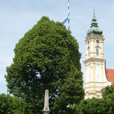
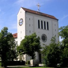
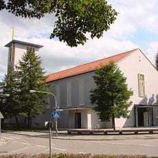
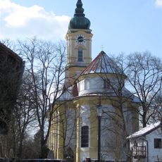
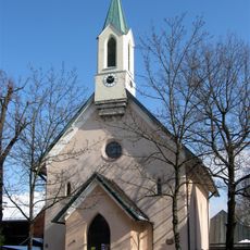
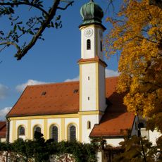
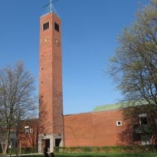
St. Mary's Church in Ramersdorf and St. Michael's Church in Perlach shape the neighborhood with their religious presence. Both churches remain gathering places where residents mark important moments in their lives and connect with their community's past.

Practical

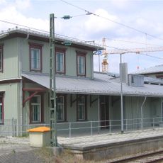
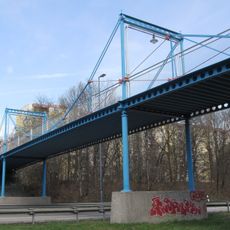
The district is well connected by public transportation with multiple transit options including U-Bahn and S-Bahn lines. Visitors can explore the area on foot or by bike to experience the character of each neighborhood at a natural pace.

Did you know?

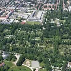
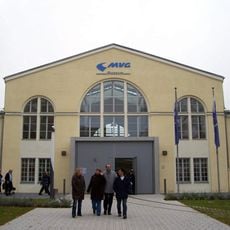
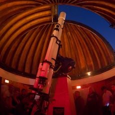
The MVG Museum displays the history of Munich's public transport system using vintage vehicles and technical displays. Visitors can see how transportation evolved and shaped the way people moved through the city over many decades.

Location
Reference
16
Shares border with
Obergiesing-Fasangarten, Au-Haidhausen, Berg am Laim, Trudering-Riem
GPS coordinates
48.10280,11.62500
Latest update
December 20, 2025 13:11

AroundUs brings together thousands of curated places, local tips, and hidden gems, enriched daily by 60,000 contributors worldwide. Discover all places nearby (Munich).

Administrative divisions
« Ramersdorf-Perlach - Administrative district in southeast Munich, Germany » is provided by Around Us (aroundus.com). Images and texts are derived from Wikimedia project under a Creative Commons license. You are allowed to copy, distribute, and modify copies of this page, under the conditions set by the license, as long as this note is clearly visible.

Discover hidden gems everywhere you go!

From secret cafés to breathtaking viewpoints, skip the crowded tourist spots and find places that match your style. Our app makes it easy with voice search, smart filtering, route optimization, and insider tips from travelers worldwide. Download now for the complete mobile experience.

Around Us App Screenshot

A unique approach to discovering new places

Le Figaro

All the places worth exploring

France Info

A tailor-made excursion in just a few clicks

20 Minutes

Around Us
Travel Guide & Maps
Download

Send to your phone

QR Code
1

Open the camera app on your mobile.

2

Point at the QR code with your camera. A notification will appear.

3

Tap the notification to open the link.