Enable Location

We need your location to show you interesting places around you

Discover nearby places

Find interesting locations and hidden gems around you

Precise directions

Get accurate directions and distances to places

Your location is never shared with other users. It's only used when you tap the location button.

Fontainebleau

Log in to your account

Start exploring — it's free

Trusted by 62,403 travelers worldwide

Continue with Google
Continue with Apple
or

We will send you a code to connect

By continuing, you accept our Terms and Conditions and our Privacy Policy

Check your inbox

We've sent a pincode in your inbox. Please enter the code below.

Fontainebleau, Royal commune in Seine-et-Marne, France.

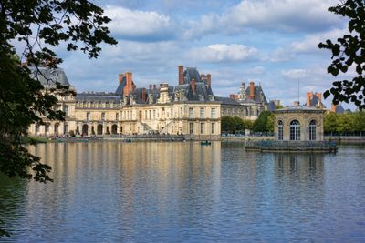
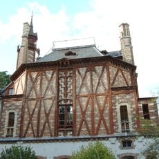
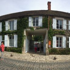
Fontainebleau is a commune in the Seine-et-Marne department in the Île-de-France region, located about 55 kilometers (34 miles) south of Paris. The town extends over several streets around the royal palace grounds and borders directly on the large state forest.

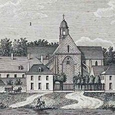
The commune developed from the 12th century onward around the royal residence and took its present form during the reigns of several French kings. Napoleon Bonaparte signed his abdication here in April 1814 after defeat by the allied forces.

The name of the town comes from the French word for fountain and refers to a spring within the royal estate. Many shops and restaurants in the center carry heraldic signs or royal symbols on their facades.

Two train stations connect the commune with Paris and allow day trips from the capital. Several bus lines run between the town center, the palace, and the entrances to the forest.

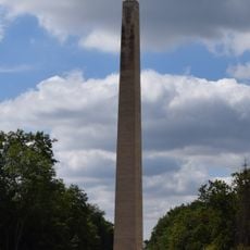
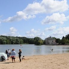
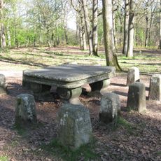
The palace grounds include an English garden with artificial lakes and canals that were laid out in the 18th century. Several parts of the forest still carry names from the hunting vocabulary of the French monarchy.

The community of curious travelers

AroundUs brings together thousands of curated places, local tips, and hidden gems, enriched daily by 60,000 contributors worldwide.

Start exploring
Location
Elevation above the sea
104 m
Shares border with
Bois-le-Roi, Arbonne-la-Forêt, Noisy-sur-École, Recloses, La Rochette, Saint-Martin-en-Bière, Samois-sur-Seine, Thomery, Ury, Villiers-en-Bière, Achères-la-Forêt, Avon, Barbizon, Bourron-Marlotte, Chailly-en-Bière, Dammarie-les-Lys, Montigny-sur-Loing, Moret-Loing-et-Orvanne
Phone
GPS coordinates
48.40889,2.70167
Latest update
December 16, 2025 03:27
« Fontainebleau - Royal commune in Seine-et-Marne, France » is provided by Around Us (aroundus.com). Images and texts are derived from Wikimedia project under a Creative Commons license. You are allowed to copy, distribute, and modify copies of this page, under the conditions set by the license, as long as this note is clearly visible.

Discover hidden gems everywhere you go!

From secret cafés to breathtaking viewpoints, skip the crowded tourist spots and find places that match your style. Our app makes it easy with voice search, smart filtering, route optimization, and insider tips from travelers worldwide. Download now for the complete mobile experience.

Around Us App Screenshot

A unique approach to discovering new places

Le Figaro

All the places worth exploring

France Info

A tailor-made excursion in just a few clicks

20 Minutes

Around Us
Travel Guide & Maps
Download

Send to your phone

QR Code
1

Open the camera app on your mobile.

2

Point at the QR code with your camera. A notification will appear.

3

Tap the notification to open the link.