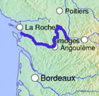
Charente, River in southwestern France
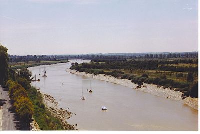
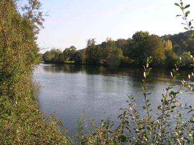
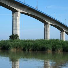
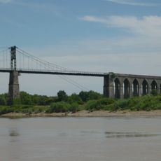
The Charente is a river in southwestern France that winds roughly 380 kilometers through four departments before flowing into the Atlantic Ocean near Rochefort. The water passes vineyards, historic towns, and green countryside along its course.
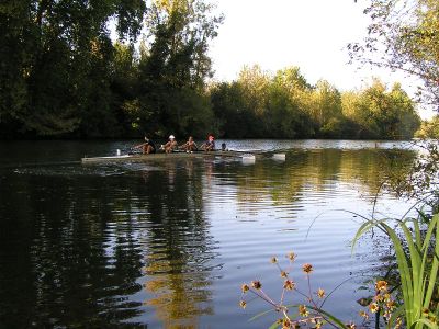
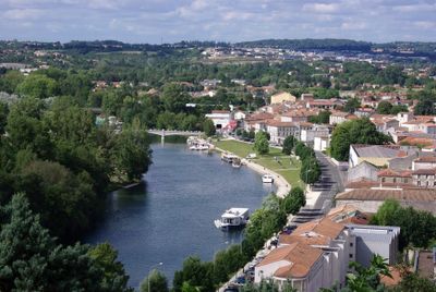
The river was shaped during the 14th century by the construction of numerous mills that hindered navigation, a problem eased by improvements made in 1835. Since then, the waterway has served both commerce and leisure activities.
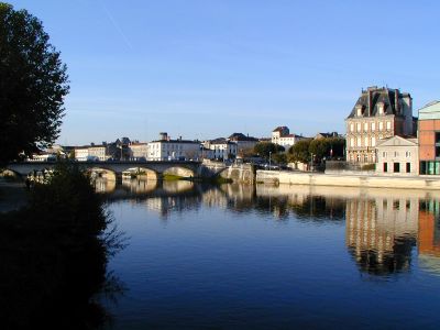
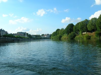
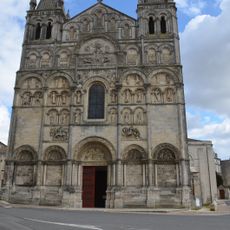
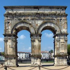
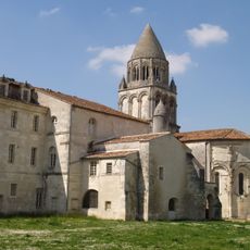
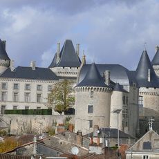
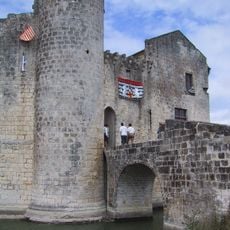
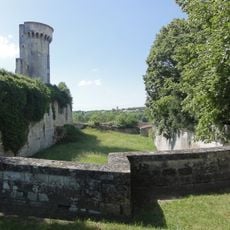
The river shaped communities like Cognac and Jarnac, where residents built their livelihoods around trade and local crafts for generations. You can see this heritage in the old buildings that line the banks and the way locals still gather near the water.
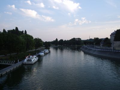
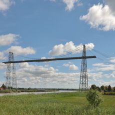
Visitors can navigate about 165 kilometers of the river by boat, with numerous mooring points in towns and villages along the route. The best season for boating is typically from May to September, when water levels are favorable and weather is pleasant.
The river is fed by ten major tributaries including Antenne, Boutonne, and Touvre, which make the system more complex and dynamic. These side streams connect different landscapes and contribute varying amounts of water.
The community of curious travelers
AroundUs brings together thousands of curated places, local tips, and hidden gems, enriched daily by 60,000 contributors worldwide.