Col du Galibier

Log in to your account

AroundUs is a community-driven map of interesting places, built by curious explorers like you. It grows with every review, story, and photo you share.
Connect to save your favorite spots, contribute locations, and create personalized routes.
By continuing, you accept our Terms and Conditions and our Privacy Policy

Col du Galibier

Add to collection
Map
Suggest a change
Share

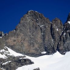
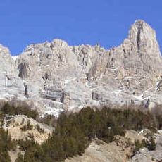
Col du Galibier, Mountain pass in Savoie and Hautes-Alpes, France.

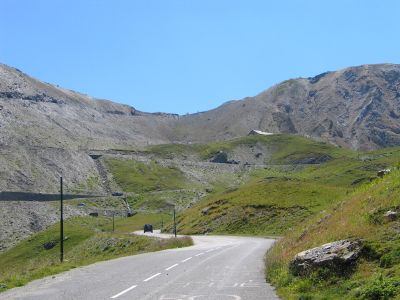
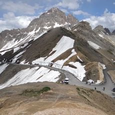
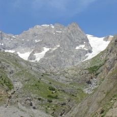
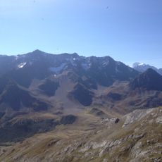
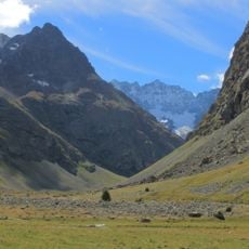
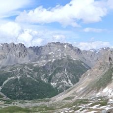
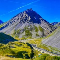
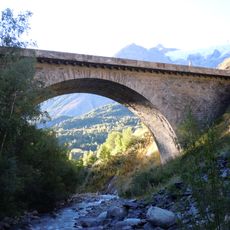
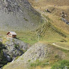
Col du Galibier is a mountain pass situated at 2,642 meters (8,668 feet) connecting Saint-Michel-de-Maurienne to Briançon through the southern French Alps. The road crosses the summit through a tunnel carved into the mountainside, with two distinct approach routes on either side.

Road construction began in 1879 to create a passage over the summit, transforming an isolated mountain barrier into a navigable route. The completion of the summit tunnel in 1891 allowed year-round access, though winter closures later became necessary for safety reasons.

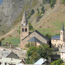
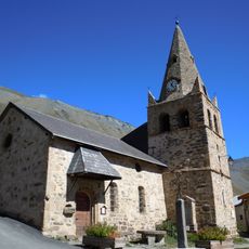
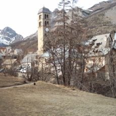
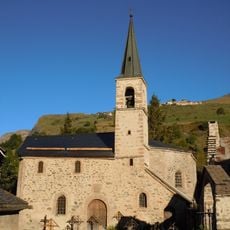
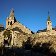
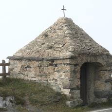
The pass takes its name from the region's Alpine heritage, connecting communities that have lived on opposite sides of the mountain for centuries. Today, it remains a meeting point where travelers encounter the traditions of both Savoyard and Dauphiné cultures.

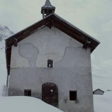
The road is typically passable from June through October, with closures from November to May due to heavy snow. Travelers should check current conditions before departing and be prepared for rapidly changing weather at this elevation.

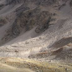
The northern approach from Valloire presents a significantly longer and steeper climb compared to the southern side from Briançon. This dramatic difference in difficulty between the two routes makes the pass particularly challenging for cyclists attempting the northern ascent.

Location: Savoie

Location: Hautes-Alpes

Elevation above the sea: 2,642 m

Part of: Route des Grandes Alpes

GPS coordinates: 45.06400,6.40800

Latest update: December 6, 2025 16:00

Photos
Motorcycle routes in France: Alpine passes, coastal roads, and historic circuits

France offers motorcyclists a diverse landscape, from Alpine peaks to Mediterranean coasts, including wine regions. The country is suitable for all riding styles, with demanding mountain roads, winding coastal routes, and rural paths. Key routes include the Col de la Bonette, reaching 2802 meters...

Reviews

Visited this place? Tap the stars to rate it and share your experience / photos with the community! Try now! You can cancel it anytime.

« Col du Galibier - Mountain pass in Savoie and Hautes-Alpes, France » is provided by Around Us (aroundus.com). Images and texts are derived from Wikimedia project under a Creative Commons license. You are allowed to copy, distribute, and modify copies of this page, under the conditions set by the license, as long as this note is clearly visible.

Discover hidden gems everywhere you go!

From secret cafés to breathtaking viewpoints, skip the crowded tourist spots and find places that match your style. Our app makes it easy with voice search, smart filtering, route optimization, and insider tips from travelers worldwide. Download now for the complete mobile experience.

Around Us App Screenshot

A unique approach to discovering new places

Le Figaro

All the places worth exploring

France Info

A tailor-made excursion in just a few clicks

20 Minutes