Chest opened
+${chestReward.xp} XP
Explorer
NOUVEAU ×${chestReward.collectible.quantity}
tapez pour fermer
Chest locked

Open chests in the app

Around Us is built for your phone — chests unlock when you walk, explore and capture nearby places.

Enable Location

We need your location to show you interesting places around you

Discover nearby places

Find interesting locations and hidden gems around you

Precise directions

Get accurate directions and distances to places

Your location is never shared with other users. It's only used when you tap the location button.

Log in to your account

Start exploring — it's free

Trusted by 72,880 travelers worldwide

Continue with Google
Continue with Apple
or

We will send you a code to connect

By continuing, you accept our Terms and Conditions and our Privacy Policy

Check your inbox

We've sent a pincode in your inbox. Please enter the code below.

Langres Plateau
Discussion Reviews Photo
28k Popularity

Langres Plateau, Mountain range in Champagne-Ardenne, France.

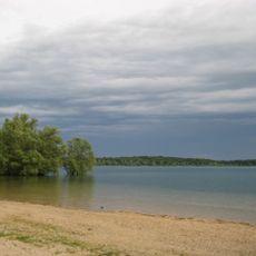
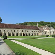
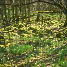
The Langres Plateau is an upland region in northeastern France characterized by limestone formations and intersecting river valleys. The surface rises to approximately 450 meters and is covered with forests and grasslands.

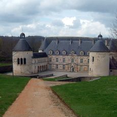
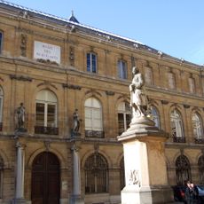
The plateau formed through geological processes over millions of years and became a natural frontier between regions. Throughout history, local powers controlled this area because of its strategic position between river basins.

The plateau shapes how local communities relate to the landscape through its role in water management and forest use. People here have built their livelihoods around the elevation and the natural resources it offers.

The best time to explore is from May to September, when weather is more stable and conditions are more comfortable. Visitors should bring sturdy footwear since paths cross fields and run through forests.

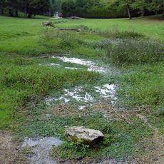
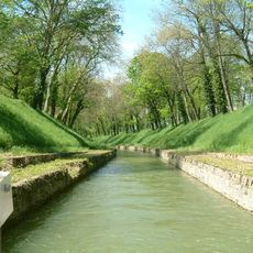
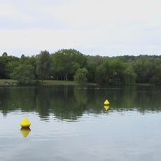
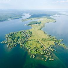
At Récourt, the water sources of three major European rivers meet at a single point on the plateau. This makes the area a rare place where water flows toward different parts of Europe.

The community of curious travelers

AroundUs brings together thousands of curated places, local tips, and hidden gems, enriched daily by 60,000 contributors worldwide.

Start exploring
Location
GPS coordinates
47.70872,5.02359
Latest update
December 20, 2025 13:02
Reviews
Share your experience

No review yet

Discussions
Start a discussion...

No discussion yet

« Langres Plateau - Mountain range in Champagne-Ardenne, France » is provided by Around Us (aroundus.com). Images and texts are derived from Wikimedia project under a Creative Commons license. You are allowed to copy, distribute, and modify copies of this page, under the conditions set by the license, as long as this note is clearly visible.

Discover hidden gems everywhere you go!

From secret cafés to breathtaking viewpoints, skip the crowded tourist spots and find places that match your style. Our app makes it easy with voice search, smart filtering, route optimization, and insider tips from travelers worldwide. Download now for the complete mobile experience.

Around Us App Screenshot

A unique approach to discovering new places

Le Figaro

All the places worth exploring

France Info

A tailor-made excursion in just a few clicks

20 Minutes

Around Us
Travel Guide & Maps
Download

Send to your phone

QR Code
1

Open the camera app on your mobile.

2

Point at the QR code with your camera. A notification will appear.

3

Tap the notification to open the link.