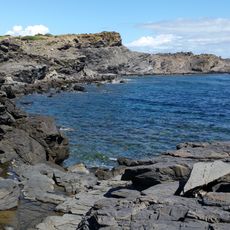
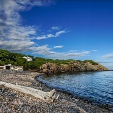
France–Italy border, International border between France and Italy in Western Europe
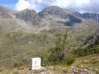
This border runs roughly 300 miles from the Alps to the Mediterranean Sea, passing through high mountain terrain and lower valleys. The line follows natural features like ridges and rivers, marked by stone pillars and signs at various crossing points.
The border took its present form in 1860 when the Treaty of Turin transferred Savoy and Nice from Italy to France. This agreement shaped the regions we see today and remains largely unchanged.
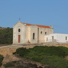
Border communities here show a mix of French and Italian influences in daily life, from the way buildings are designed to what people eat and how they celebrate local holidays. You can see these traditions blend naturally in the streets and markets on both sides.
Several tunnels and mountain passes let you cross the border, with major routes through Mont Blanc and Fréjus in the north. The southern coastal sections are generally easier to reach, especially during warmer months.
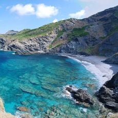
Three major national parks meet at this border: Vanoise and Mercantour on the French side, and Gran Paradiso on the Italian side. Together they form one of Europe's largest connected conservation areas for wildlife.
The community of curious travelers
AroundUs brings together thousands of curated places, local tips, and hidden gems, enriched daily by 60,000 contributors worldwide.