Rhône-Alpes

Log in to your account

AroundUs is a community-driven map of interesting places, built by curious explorers like you. It grows with every review, story, and photo you share.
Connect to save your favorite spots, contribute locations, and create personalized routes.
Continue with Google
Continue with Apple
Continue with X
Continue with Facebook
Continue with email
By continuing, you accept our Terms and Conditions and our Privacy Policy
Create an account

Rhône-Alpes

Add to collection
Map
Suggest a change
Share

Rhône-Alpes, Administrative region between Alps and Rhône Valley, France.

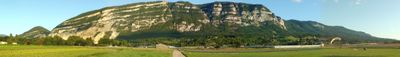
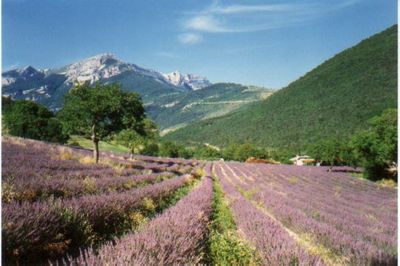
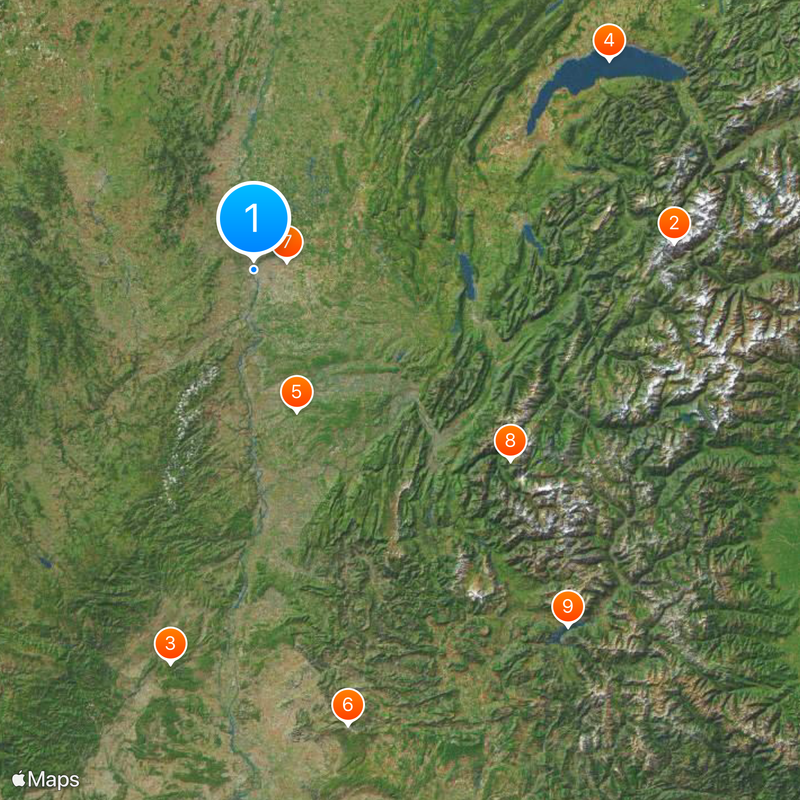
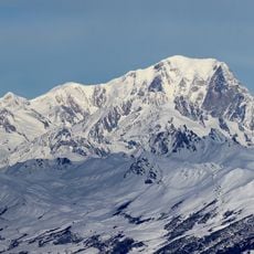
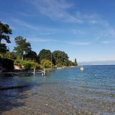
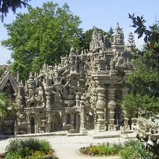
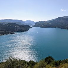
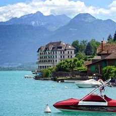
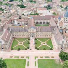
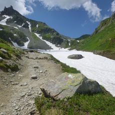
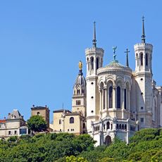
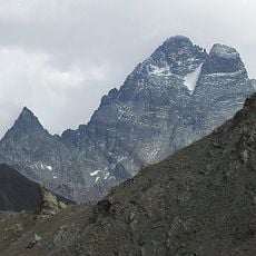
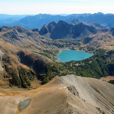
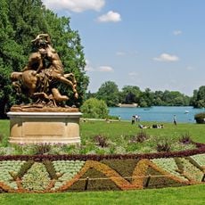
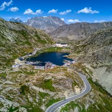
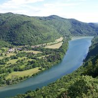
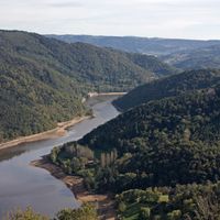
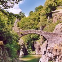
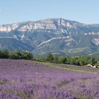
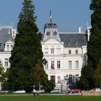
Rhône-Alpes was a region in eastern France stretching from the Jura foothills to the French Alps and from the Rhône valley to the Swiss border. The territory combined urban centers such as Lyon and Grenoble with alpine valleys, vineyards along hillsides, and wide plateaus between mountain ranges.

The region was created in 1960 by merging several historical provinces and departments as part of French administrative reform. It existed until 2016, when it merged with the Auvergne region to form the new Auvergne-Rhône-Alpes region.

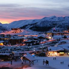
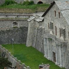
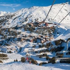
The region hosted three Winter Olympic Games in Chamonix-Mont-Blanc in 1924, Grenoble in 1968, and Albertville in 1992, marking its significance in winter sports.

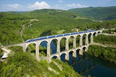
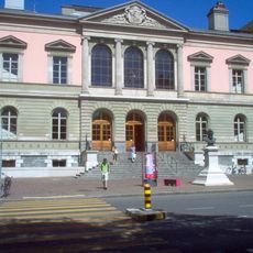
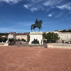
The former administrative territory is now part of the larger Auvergne-Rhône-Alpes region, though geographic features and place names continue to appear in maps and guides. Travelers exploring this area will find Lyon serves as a central hub for connections to surrounding areas and alpine valleys.

The name combines the Rhône river with the Alps, reflecting the two defining geographic features that shaped the territory. This designation helped travelers and locals form an immediate mental picture of the area's location and character.

Location: Metropolitan France

Inception: June 4, 1960

Capital city: Lyon

Shares border with: Franche-Comté, Provence-Alpes-Côte d'Azur, Languedoc-Roussillon, Auvergne, Burgundy, Canton of Valais, Piedmont, Aosta Valley, Canton of Geneva, Canton of Vaud

Address: Rhone-Alpes, France

Website: http://rhonealpes.fr

GPS coordinates: 45.74019,4.81945

Latest update: December 14, 2025 21:26

Photos
Reviews

Visited this place? Tap the stars to rate it and share your experience / photos with the community! Try now! You can cancel it anytime.

« Rhône-Alpes - Administrative region between Alps and Rhône Valley, France » is provided by Around Us (aroundus.com). Images and texts are derived from Wikimedia project under a Creative Commons license. You are allowed to copy, distribute, and modify copies of this page, under the conditions set by the license, as long as this note is clearly visible.

Discover hidden gems everywhere you go!

From secret cafés to breathtaking viewpoints, skip the crowded tourist spots and find places that match your style. Our app makes it easy with voice search, smart filtering, route optimization, and insider tips from travelers worldwide. Download now for the complete mobile experience.

Around Us App Screenshot

A unique approach to discovering new places

Le Figaro

All the places worth exploring

France Info

A tailor-made excursion in just a few clicks

20 Minutes