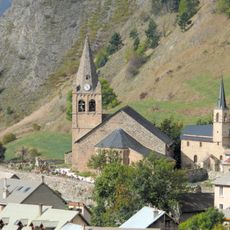
Lac Lérié, lake in France
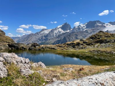
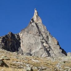
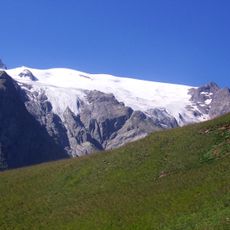
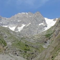
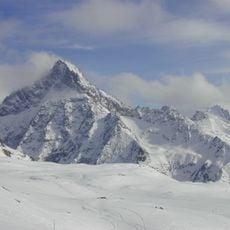
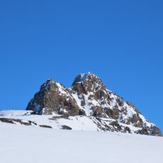
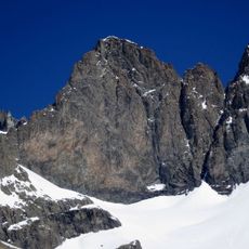
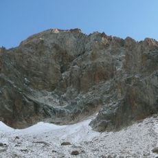
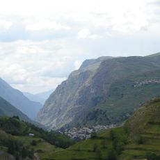
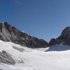
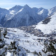
Lac Lérié is a high mountain lake located at 2,450 meters (8,040 feet) elevation in the Oisans massif, cradled between rocky peaks and steep slopes. The water sits within a landscape of alpine meadows and rock formations that define the rugged character of this altitude zone.
The lake formed during glacial periods when moving ice carved valleys and hollows into the landscape of the Oisans massif. These geological processes created the basin that now holds water at this altitude.
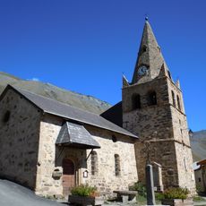
The name reflects local alpine traditions and the connection between mountain communities and high-altitude spaces. Herders still occasionally pass through these heights, maintaining a centuries-old link between people and this remote landscape.
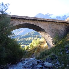
Access to the lake is via marked hiking trails starting from La Grave, with the walk taking several hours depending on your starting point. Visitors should bring proper equipment for rapidly changing mountain weather and sturdy footwear for steep sections.
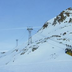
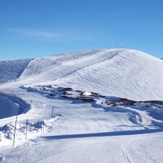
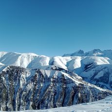
Summer visitors can fish for trout in the lake, while the surrounding slopes transform into ski terrain during winter months. This seasonal shift transforms the location into two distinct experiences throughout the year.
The community of curious travelers
AroundUs brings together thousands of curated places, local tips, and hidden gems, enriched daily by 60,000 contributors worldwide.