Pic de la Sabine, Mountain summit in Ariège, France
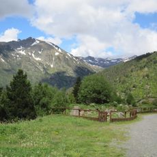
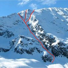
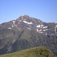
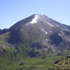
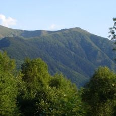
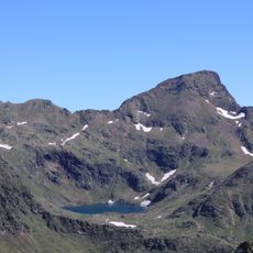
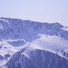
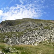
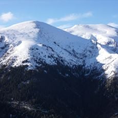
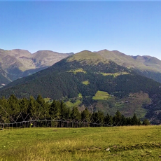
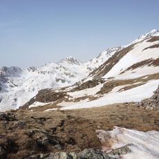
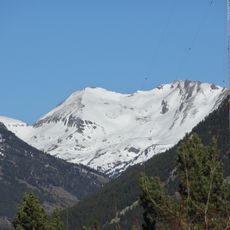
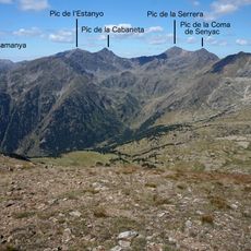
Pic de la Sabine rises to 2561 meters within the Aston massif near the Andorran border, flanked by the peaks of Tristagne and Serrère. The terrain consists of steep alpine slopes and rocky ridges typical of the high Pyrenees.
During the 18th century, three minstrels felled a tree on the mountain to aid their beloved Sabine, a deed that gave the peak its lasting name. This legendary act became central to the mountain's identity.
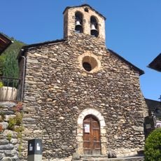
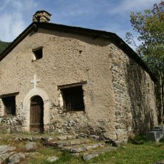
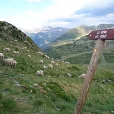
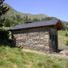
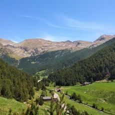
The peak sits within the Ariège Pyrenees Regional Nature Park, where shepherds and hikers regularly share the mountain shelter. This place reflects a long tradition of coexisting with high-altitude grazing lands.
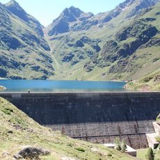
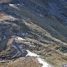
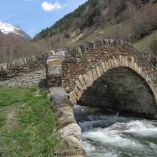
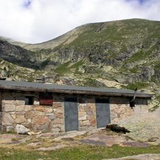
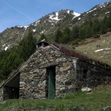
The route starts at the Laparan hydroelectric plant and crosses two wooden footbridges before following stone markers upward. The Quioulès shelter at roughly 1611 meters provides rest and supplies before the final push to the summit.
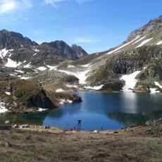
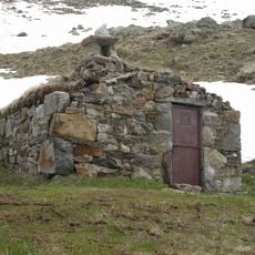
The Quioulès shelter holds roughly ten sleeping places and serves as an informal meeting point on the mountain. It becomes a place where shepherds and day hikers naturally encounter one another during the climbing season.
The community of curious travelers
AroundUs brings together thousands of curated places, local tips, and hidden gems, enriched daily by 60,000 contributors worldwide.